Visit Kalgoorlie With A Caravan: Where To Stay & What To Do

Visit Kalgoorlie With A Caravan: Where To Stay & What To Do

Visit Kalgoorlie With A Caravan: Where To Stay & What To Do

Visit Kalgoorlie with your caravan. Caravan parks, top attractions and things to do for a memorable outback WA goldfields adventure. After spending a few days camping at Discovery Parks – Boulder, we’re absolutely buzzing from our trip to Kalgoorlie-Boulder! This historic goldfields region of Western Australia is famous for its gold rush history and larger than life characters.

Whether you’re into history, adventure or just soaking up the unique vibe of a true blue Aussie town Kalgoorlie has something for everyone. In this post, I’ll take you through our experience exploring the area, From places to stay with a caravan to the best things to see and do. We’ll also try to cover a bit of the local history and offer some practical tips for making your stay as enjoyable as ours was.
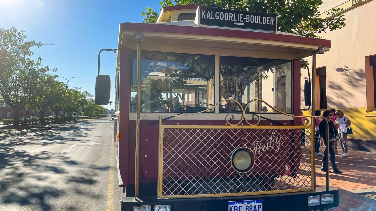
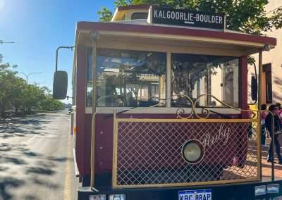
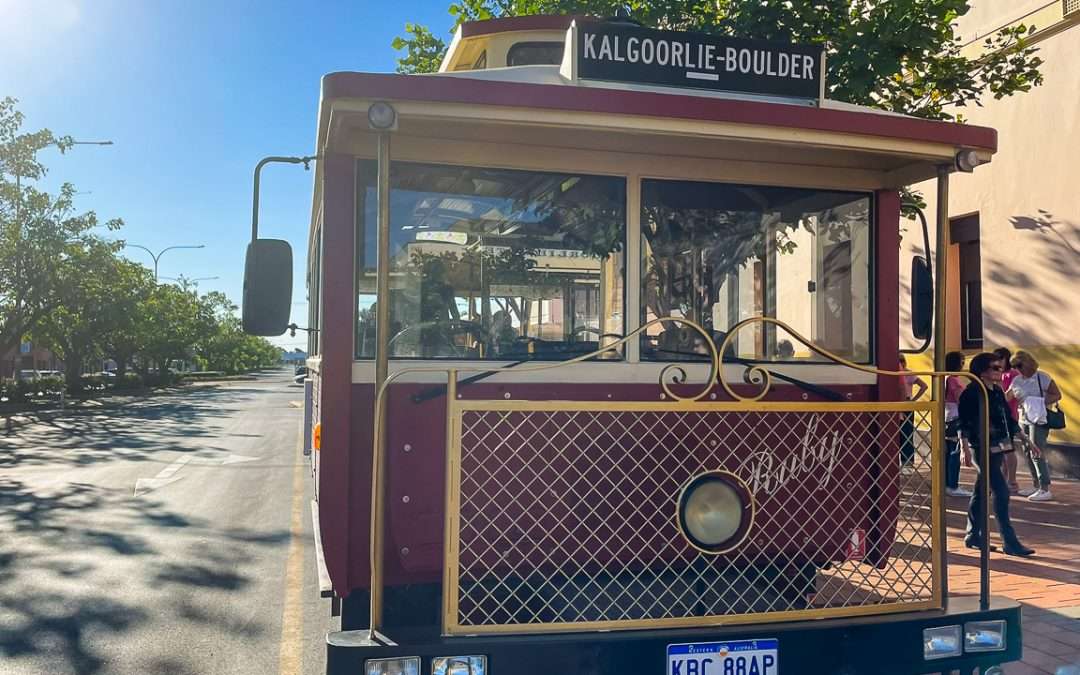
Guided Bus Tour Of Kalgoorlie Boulder

Guided Bus Tour Of Kalgoorlie Boulder

A Brief History of Kalgoorlie and Boulder

Kalgoorlie and Boulder are two towns that merged into one city. Kalgoorlie-Boulder but they still hold onto their individual identities. The area was founded during the gold rush of the 1890s when prospectors flocked to Western Australia in search of their fortune. The discovery of gold at Hannan’s Find (now Kalgoorlie) in 1893 kicked off one of the biggest gold rushes in Australian history.

Boulder, just a short distance from Kalgoorlie developed around the Golden Mile. One of the richest gold deposits in the world. The area became famous for its mining, and even today Kalgoorlie’s Super Pit remains one of Australia’s largest and most productive gold mines.

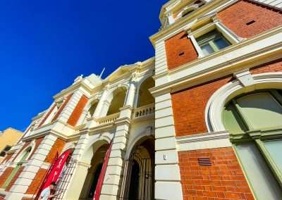
The history of Kalgoorlie is one of resilience, hardship and determination,and you can feel it everywhere you go. From the grand old buildings lining Hannan Street to the working mines still shaping the landscape. This place tells a story of people tough enough to thrive in the outback while chasing the promise of gold.

Top 10 Things to Do in Kalgoorlie & Boulder

We were spoilt for choice with things to do in Kalgoorlie-Boulder. Here’s a list of our top 10 must dos.

  1. Tour the Superpit Kalgoorlie
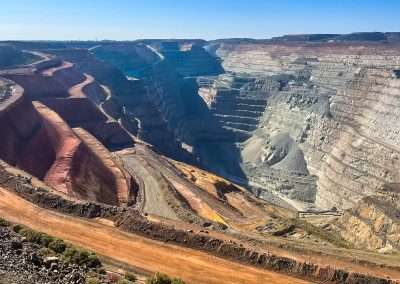
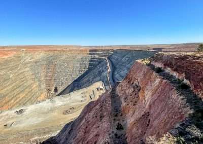
    The Superpit is a sight to behold. One of the world’s largest open-cut gold mines. You can go on a guided tour to learn about its history and how gold is mined there today. The scale of the pit is mindblowing. Watching the massive trucks haul ore out of the pit is something you won’t forget. Come back late in the day most weekdays and you can sometimes see a blast.
  2. Explore Hannan Street
    Kalgoorlie’s main street is a blast from the past with historic buildings that take you back to the gold rush era. You can visit Hannan’s Club where the town’s wealthy miners once gathered, or grab a drink at one of the iconic pubs like the Exchange Hotel or The Palace Hotel.
  3. Museum of the Goldfields
    If you’re a history buff like us, you’ll love the Museum of the Goldfields. It’s packed with artefacts from the gold rush era, including old mining tools, photos, and even gold nuggets. The museum gives a real feel for what life was like in Kalgoorlie during the early days.
  4. Visit Mount Charlotte Reservoir and Lookout
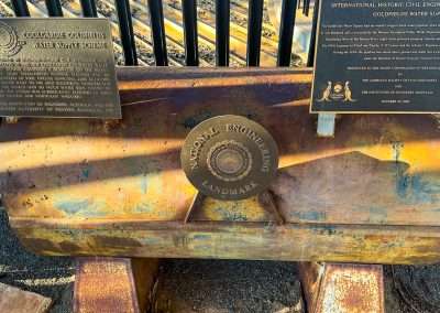
    This is a great spot to take in views of Kalgoorlie-Boulder and learn about the Golden Pipeline, which was an engineering marvel that brought water to the region from Perth, over 500 km away. The lookout offers beautiful panoramic views, especially around sunset.
  5. Karlkurla Bushland Park
    If you fancy a bit of nature, Karlkurla Bushland Park is a lovely place for a bushwalk. The park has several walking tracks and is home to native wildlife including kangaroos and heaps of birdlife. It’s a peaceful retreat just outside town, and we loved the fresh air and tranquillity after exploring the bustling city.
  6. Go on a Gold Prospecting Tour
    Ever fancied finding your own piece of gold? You can join a gold prospecting tour, where you’ll be given a metal detector and some training. It’s a fun and unique experience, even if you don’t strike it rich (but you might just find a nugget or two!).
  7. Explore Boulder’s Historical Precinct
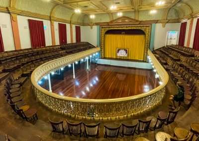
    Boulder has its own charm and is a bit quieter than Kalgoorlie. Boulder’s Town Hall is famous for its beautifully preserved Goatcher Curtain, a hand-painted theatre curtain from the early 1900s. Wander around and take in the historical buildings, many of which are original from the gold rush days.
  8. The Goldfields Arts Centre
    For those interested in arts and culture the Goldfields Arts Centre is a hub for local exhibitions and performances. They often have shows, live music, and art displays that give you a taste of the creative side of Kalgoorlie.
  9. Hammond Park
    This local park is perfect if you’re travelling with kids (or if you just want to relax for a bit). There’s a mini-zoo with emus, kangaroos, and peacocks, and the lush gardens make it a lovely spot for a picnic.
  10. Kalgoorlie-Boulder Racing Club
    If you’re in town during race season, the Racing Club is a must-visit. The Kalgoorlie Cup is a major event in the racing calendar, and even if you’re not a big fan of horse racing, the atmosphere is electric, with everyone dressed up and having a good time.
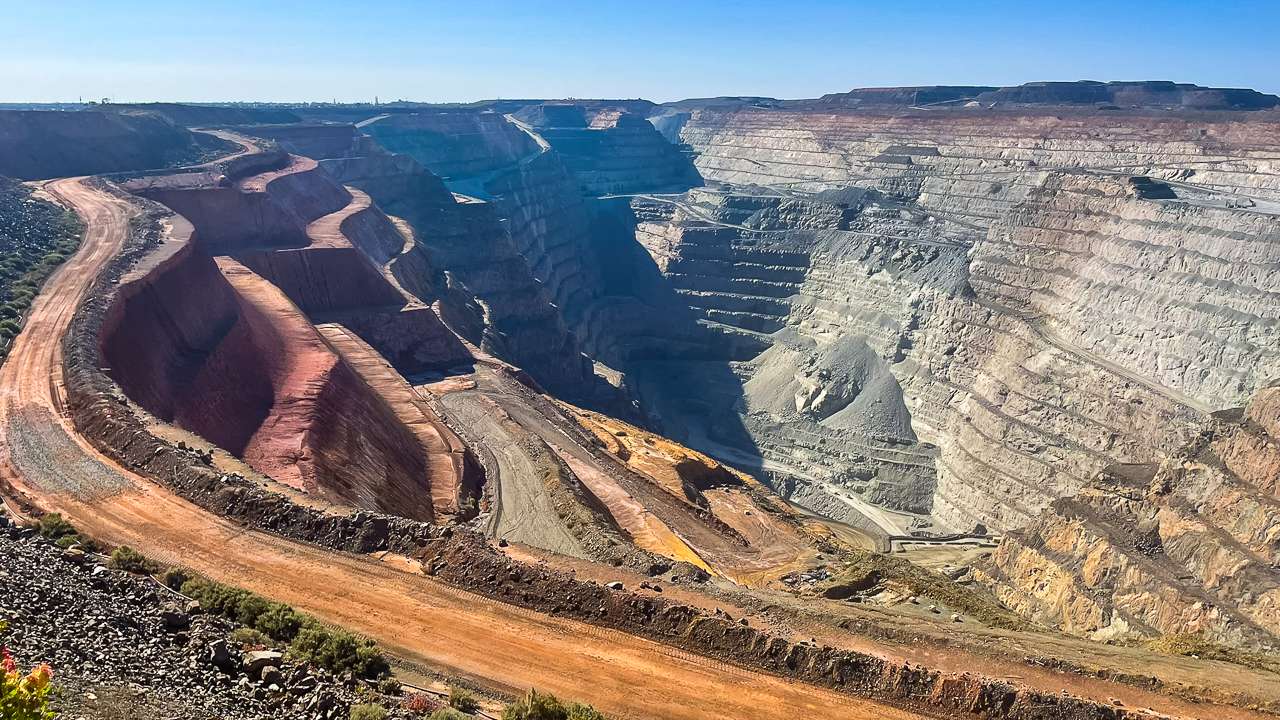
Looking Down Into The Super Pit

Looking Down Into The Super Pit

Kalgoorlie Caravan Parks

When it comes to camping with a caravan in Kalgoorlie-Boulder there are plenty of Kalgoorlie caravan parks to choose from. We stayed at Discovery Parks – Boulder, which we found to be a great base for exploring the area. Here are some caravan parks you can stay at.

Discovery Parks – Boulder

Located in Boulder this park is well-equipped for caravans, with powered sites, clean amenities. Even a swimming pool to cool off in after a day of exploring. The park has free Wi-Fi, a camp kitchen, BBQ facilities, and laundry services. It’s also pet-friendly. This is a great Kalgoorlie Caravan Park.

Price: Powered sites start from around $45 per night.
Contact: (08) 9093 7550
Address: 201 Lane St, Boulder WA 6432

Goldminer Caravan Park

Another popular Kalgoorlie caravan park is the Goldminer Caravan Park, which is also in Boulder. It’s known for being quiet and clean, with well-maintained facilities. You’ll find powered sites, a camp kitchen, and BBQ areas.

Prospector Holiday Park

Located in Kalgoorlie, Prospector Holiday Park offers powered and unpowered caravan sites, as well as cabins. It’s close to town, so you’re never far from the action, but it’s quiet enough for a relaxing stay. It’s another great Kalgoorlie caravan park.

Is It Safe to Camp at Kalgoorlie?

Absolutely! We found Kalgoorlie-Boulder to be a safe place to camp, and the caravan parks are well-maintained and secure. Like any town, it’s good to keep an eye on your belongings, but overall, we felt comfortable and at ease during our stay.

That said, if you’re camping in more remote areas outside town, it’s always a good idea to take the usual precautions—lock your van, store your food properly to avoid attracting wildlife, and be mindful of the weather.

The Weather in Kalgoorlie

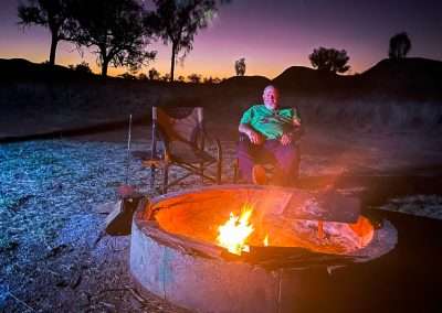
The weather in Kalgoorlie-Boulder is typical of the Goldfields region—hot in summer and cool in winter. Summer temperatures can reach the high 30s or even 40°C, so be prepared if you’re visiting during those months. Sunscreen, a hat, and plenty of water are essentials. Winter is much more comfortable, with daytime temps ranging from 16°C to 20°C, but the nights can get chilly, sometimes dropping below freezing. We visited in autumn, which was perfect—warm during the day and cool enough at night for a campfire.
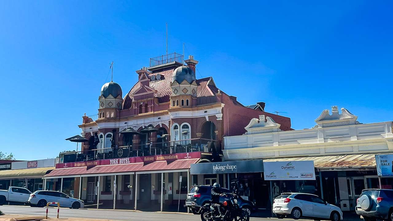
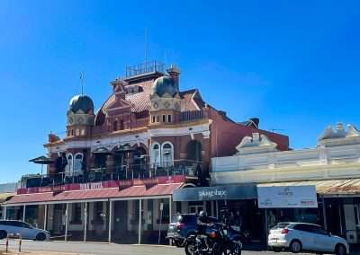
York Hotel Kalgoorlie

York Hotel Kalgoorlie

Kalgoorlie Boulder Population History

Located in Western Australia’s Goldfields region, has a rich history tied closely to the gold mining industry, which has influenced its population patterns over the years. Here’s a brief look at the population history of Kalgoorlie-Boulder.

Early Settlement and Gold Rush Boom

Kalgoorlie-Boulder’s population growth began in the 1890s when gold was discovered in the area. In 1893, gold prospector Paddy Hannan made a significant find, triggering the Kalgoorlie Gold Rush. Thousands of people from all over Australia, and even from abroad, flocked to the region in search of fortune. By the late 1890s, Kalgoorlie and Boulder (which were separate towns at the time) had rapidly grown, with populations surging due to the influx of miners, traders, and their families.

  • 1897: Kalgoorlie had a population of around 2,018, while Boulder had about 1,154 people.
  • 1903: As the gold boom continued, the combined population of Kalgoorlie and Boulder exceeded 30,000, making it one of the largest regional centres in Western Australia at the time.

Population in the 20th Century

During the early 20th century, Kalgoorlie and Boulder maintained a steady population as mining continued to support the local economy. The towns were officially merged in 1989 to form the City of Kalgoorlie-Boulder. However, technological advancements in mining and periodic fluctuations in the gold price caused some changes in population levels.

  • 1930s-1940s: During the Great Depression and World War II, population growth slowed as mining activity dipped.
  • 1950s-1960s: Post-war, the town saw renewed growth with mining innovations like the use of open-cut mining techniques.

Late 20th Century to Present

In more recent times, the population of Kalgoorlie-Boulder has seen some fluctuation but has remained relatively stable. The mining industry remains a key part of the local economy, and improvements in infrastructure have helped maintain the town’s population. Kalgoorlie-Boulder has also become a service hub for the surrounding region, contributing to steady population numbers.

  • 1980s-1990s: Kalgoorlie-Boulder’s population hovered around 30,000 to 35,000, influenced by the mining booms and busts.
  • 2001 Census: The population was approximately 28,250 people.
  • 2021 Census: The population stood at around 27,000, indicating a slight decline over two decades, but the city still remains a key regional centre in WA.

Current Population

As of the most recent data, Kalgoorlie-Boulder’s population is approximately 27,000 people. While the population has experienced some fluctuations over the years, it remains a vibrant community driven by mining, tourism, and its rich cultural history.

Kalgoorlie Boulder Population Concusion

The population of Kalgoorlie-Boulder has been closely tied to the ebb and flow of fortunes in the mining industry. Significant growth during the gold rush era and subsequent steady changes as the economy evolved. Kalgoorlie Boulder continues to be an important regional centre with a stable population thanks to its ongoing economic opportunities.
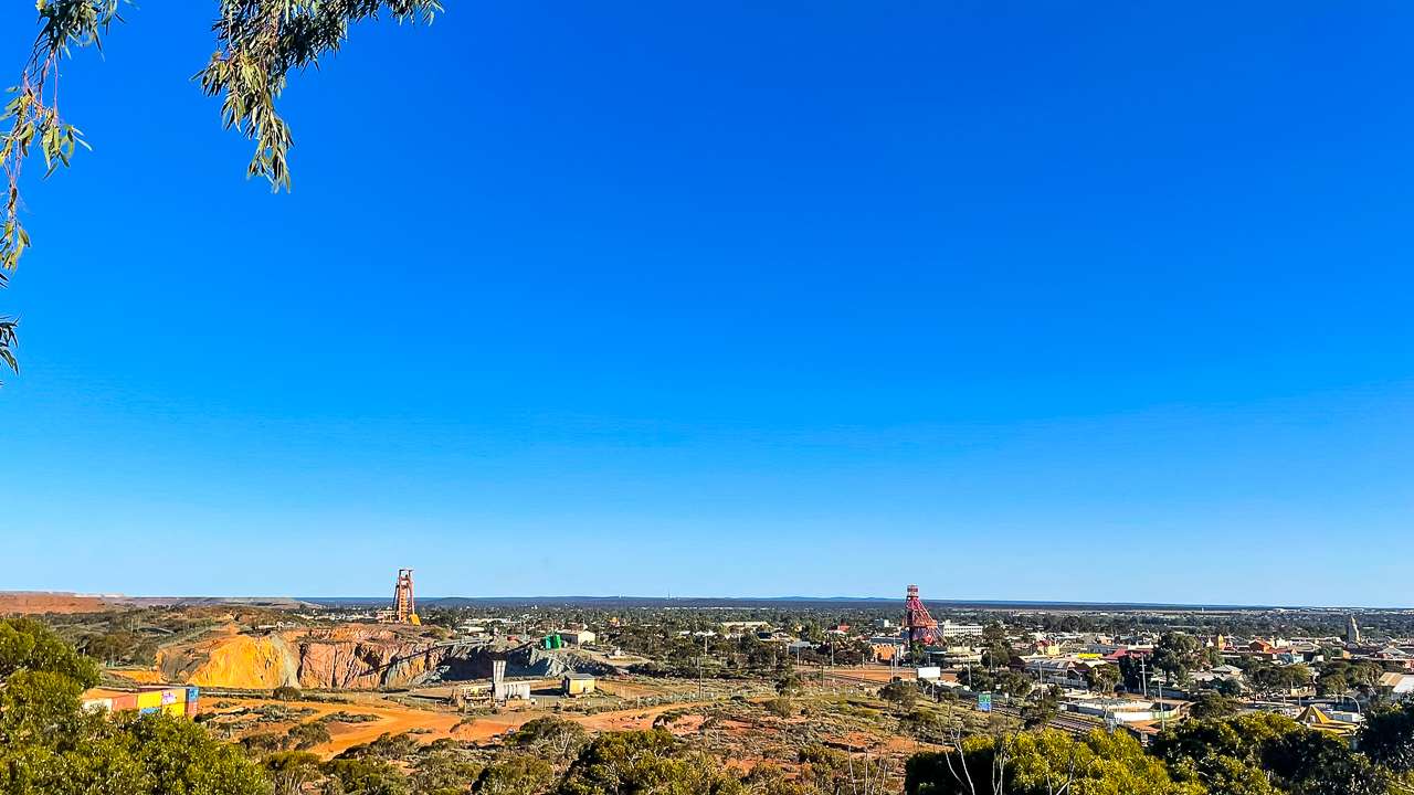
View From Water Tower Looking Over Kalgoorlie Towards Boulder

View From Water Tower Looking Over Kalgoorlie Towards Boulder

Superpit Kalgoorlie

The Superpit, also known as the Kalgoorlie Superpit, is one of Australia’s most iconic and largest open-cut gold mines, located just outside the town of Kalgoorlie-Boulder in Western Australia. It’s a sight to behold and a key player in the area’s economy and history, stretching over 3.5 kilometres in length, 1.5 kilometres wide, and 600 metres deep.

A Brief History of the Superpit Kalgoorlie

The history of the Superpit Kalgoorlie is closely tied to the gold rush era that shaped Kalgoorlie-Boulder. Gold was discovered here by Paddy Hannan in 1893, and his discovery led to a massive influx of miners and prospectors hoping to strike it rich. Over the years, numerous individual underground mining operations sprouted up on the “Golden Mile,” a rich seam of gold deposits near Kalgoorlie.

By the late 1980s, many of the smaller mines were consolidated into one large-scale operation under the ownership of mining magnate Alan Bond. This resulted in the creation of the Superpit Kalgoorlie in 1989, which allowed for a more efficient method of extracting gold using open-pit mining techniques. Though Alan Bond’s business ultimately faltered, the Superpit Kalgoorlie continued under the management of Kalgoorlie Consolidated Gold Mines (KCGM), a joint venture between Newmont Corporation and Barrick Gold.

The Superpit remains one of the largest open pit mines in the world, producing hundreds of thousands of ounces of gold annually.

Visiting the Superpit Kalgoorlie

If you’re in Kalgoorlie-Boulder, visiting the Superpit Kalgoorlie is an absolute must. There’s an observation deck where visitors can get a panoramic view of this massive mining operation, and you can see the giant trucks and machinery working far below. It’s an impressive sight that highlights the scale of modern mining and the area’s rich mining heritage.

  • Location: Just outside Kalgoorlie-Boulder
  • Viewing Deck: Open daily with a lookout that provides great views of the pit
  • Tours: Guided tours of the Superpit are also available, providing insight into the mining processes and history of the area.

Mining Operations

The Superpit operates 24/7, with giant haul trucks and enormous excavators constantly at work to extract ore. The gold extracted from the mine is processed on-site, and over its lifetime, the Superpit has produced more than 50 million ounces of gold. Although the pit was originally expected to close around 2021, ongoing discoveries have extended its life for several more years, ensuring it remains an economic powerhouse for the region.

The Future of the Superpit

While the Superpit’s lifespan has been extended beyond initial expectations, it is inevitable that the pit will one day cease operations as the gold reserves are depleted. However, plans are already in place for the eventual rehabilitation of the site. The mine has been a crucial part of Kalgoorlie-Boulder’s identity, but the town has diversified its economy and developed its tourism sector, ensuring it will continue to thrive even after the mine eventually closes.

Superpit Kalgoorlie Conclusion

The Superpit is not just a massive hole in the ground; it’s a symbol of the determination and spirit that built Kalgoorlie-Boulder. For over a century gold mining has been the driving economic force behind this region. The Superpit represents the peak of that legacy. Whether you’re a history buff, a fan of engineering marvels, or just curious about one of Australia’s largest mining operations, the Superpit is a fascinating and impressive site to explore.

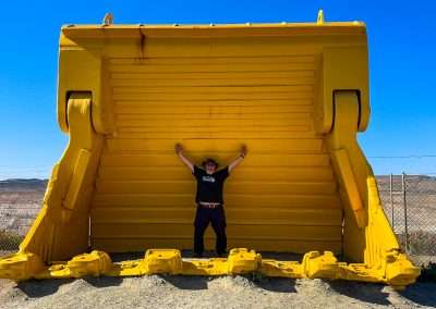
Digger Bucket At The Super Pit

Digger Bucket At The Super Pit

Final Thoughts on Our Stay at Discovery Parks – Boulder

Camping at Discovery Parks – Boulder was an excellent way to experience the rich history and unique charm of Kalgoorlie-Boulder. The park had everything we needed for a comfortable stay, and we loved how close it was to all the major attractions. Whether you’re a history buff, a nature lover, or just someone looking to explore the outback, Kalgoorlie-Boulder offers an experience you won’t forget. From the towering Super Pit to the quiet charm of Boulder’s Town Hall, there’s so much to see and do. We’re already planning our next trip back. There’s just something about this place that leaves you wanting more!

Kalgoorlie And Boulder WA Photo Gallery

FAQs Frequently Asked Questions About Visiting Kalgoorlie

What is Kalgoorlie famous for?

Kalgoorlie is best known for its rich gold mining history and the Super Pit, one of the largest open-cut gold mines in the world. The town played a key role in Australia's gold rush era.

Is Kalgoorlie safe to visit?

Yes, Kalgoorlie is generally safe for visitors. Like anywhere, it’s smart to stay aware of your surroundings, especially at night, but the town is welcoming to tourists.

What can I do in Kalgoorlie?

There’s plenty to do, including visiting the Super Pit lookout, exploring the Goldfields Museum, wandering down Hannan Street for a drink at a historic pub, or checking out the art galleries.

What’s the weather like in Kalgoorlie?

Kalgoorlie has a semi-arid climate, meaning hot summers and mild winters. Summer temps can soar above 40°C, while winter is cooler with averages around 6–18°C.

Can I stay in Kalgoorlie with a caravan?

Yes, there are several caravan parks in and around Kalgoorlie, such as Discovery Parks and Goldminer Caravan Park, offering powered sites and amenities for a comfortable stay.

How do I get to Kalgoorlie?
Kalgoorlie is about a 6-hour drive east of Perth along the Great Eastern Highway. You can also fly in from Perth, with regular flights available.

Gwalia Ghost Town: Explore & Camp Inside Goldfields History

Gwalia Ghost Town: Explore & Camp Inside Goldfields History

Gwalia Ghost Town: Explore & Camp Inside Goldfields History

We experience the history of Gwalia Ghost Town. Maybe Australia’s best preserved gold mining site with free camping, ghost town. After a few great days camping at Gwalia Ghost Town we can share what an incredible spot it is.

Located just outside Leonora in Western Australia Gwalia offers more than just eerie, abandoned buildings. It’s a window into Australia’s gold mining past complete with a quirky charm and historic beauty. If you’re into history, ghost towns or just the thrill of camping somewhere a little out of the ordinary. Then Gwalia is a must see.

IMG 3289

IMG 3289

What Is At Gwalia Ghost Town?

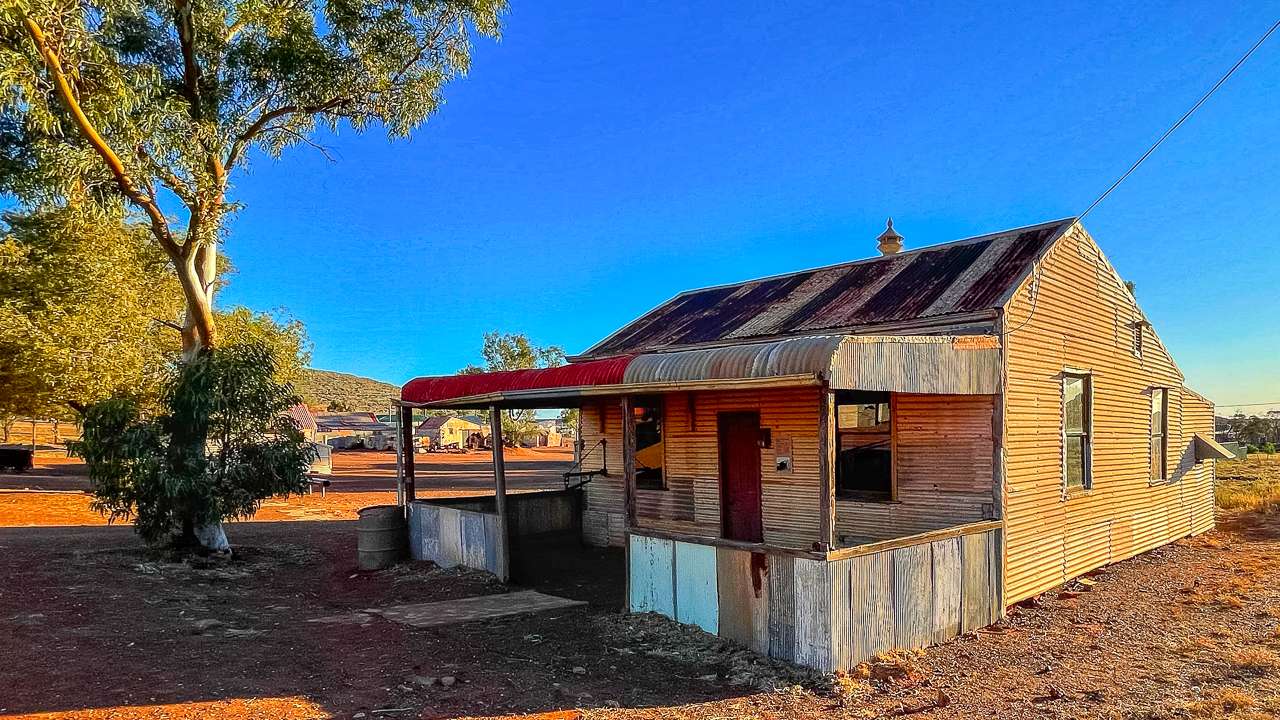
Gwalia Ghost Town is one of the best preserved historic mining towns in Australia. Once a bustling gold mining settlement in the late 1800s and early 1900s. Gwalia was home to thousands of people mostly European migrants. Today it’s a ghost town with only nobody living there. Its abandoned buildings stand as a silent reminder of Australia’s gold rush days.

The town grew up around the Sons of Gwalia Mine, a gold mine that operated from 1896 until 1963. When the mine shut down most of the town’s population left almost overnight. Leaving houses, shops and even a boarding house standing eerily empty. What remains is a living museum of sorts, with many of the original structures still intact and a rich history to uncover.

Getting There: The Journey from Laverton to Gwalia

Our trip to Gwalia began at Giles Breakaway 50 kilometres east of Laverton WA. We called in at Laverton to do some chores – emptying the toilet cassettes out of the caravan and that kind of thing. We had a look around Laverton including a stop at the Tourist Information Centre for some lunch and some information.

From Laverton you only have another 120 kilometres or so to Leonora, Gwalia is on the outskirts of Leonora.  The drive took us along a pretty straightforward route heading west on Goldfields Highway. It’s an easy drive on sealed roads so you won’t need a 4WD unless you plan on doing some off-road adventuring in the region.

The landscape along the way is classic outback – wide open plains, scrubby bushland and the occasional rocky outcrop breaking up the horizon. Keep an eye out for wildlife; we saw kangaroos and emus along the way and there’s always the chance of spotting a wedge-tailed eagle soaring overhead. Weirdly enough we also saw a heap of dead cows that had been hit by road trains. We’ve done hundreds of thousand of kilometres in the outback and only ever seen a few dead cows previously.

As you approach Gwalia from Leonora the landscape becomes more hilly and you’ll start to see remnants of the gold mining industry scattered about. The first real sign of the town is the towering headframe of the old Sons of Gwalia mine. A striking reminder of the area’s mining heritage.

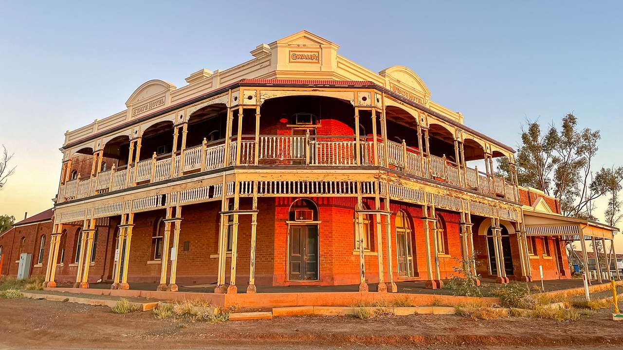
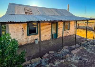
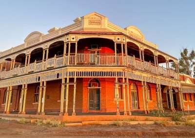
Abandoned Hotel WA Goldfields State Hotel Gwalia

Abandoned Hotel WA Goldfields State Hotel Gwalia

Camping At Gwalia Ghost Town

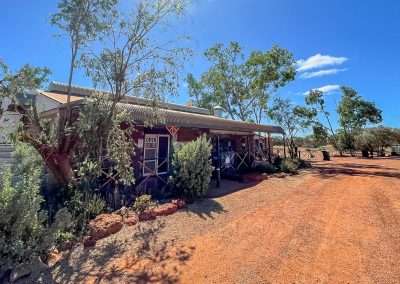
Camping at Gwalia Ghost Town feels like stepping back in time. The free campsite is located at the Gwalia Museum, which preserves much of the town’s history. The campsite itself is basic but comfortable. It’s perfect if you’re looking for a free camping experience with a historical twist. There’s a donation box inside the museum entry. We made a donation as we really appreciated the campsite and the museum.

Facilities At The Campsite

The free campsite is right alongside the museum. It offers a large flat area overlooking the ghost town where you can set up your caravan. There aren’t any amenities at all and you MUST be fully self contained, no water on the ground allowed. When you arrive you go into the museum and register to camp. You can camp for a maximum of 72 hours.

The highlight is the setting. You’re camping right above to the historic Gwalia ghost town. With views of the old mine workings and the rugged Goldfields landscape. It’s hard to beat the atmosphere of a ghost town at dusk. With the fading sunlight casting long shadows over the abandoned houses and the quiet open spaces around you.

There’s a dump point just outside of Gwalia as well as water available. Leonora is only five minutes away and it has everything you could possibly need. Fuel, a couple of pubs and also a supermarket and a hardware store.

Camping At Gwalia Free Camp

Camping At Gwalia Free Camp

Is It Safe to Camp at Gwalia?

Yes, camping at Gwalia is safe. It’s a quiet, remote spot and you’re unlikely to have many neighbours apart from other campers or the occasional visitor to the museum. Just take the usual outback camping precautions—keep your food secure to avoid attracting wildlife and be mindful of the weather (more on that below). There’s no mobile reception here, but the museum has emergency contact options if needed.

Things to Do While Camping at Gwalia Ghost Town

Camping at Gwalia isn’t just about soaking up the eerie ghost town vibe. There’s actually quite a bit to do, especially if you enjoy history, bushwalking and photography. Here’s a list of things we did while staying at Gwalia:

  1. Explore the Gwalia Museum
    The museum is an absolute beauty. It houses a large and interesting collection of mining artefacts. There are plenty of old photographs and displays about the history of the Sons of Gwalia Mine. You can also wander through the town itself exploring the old miner’s cottages, the state hotel and the Gwalia General Store.
  2. Visit Hoover House
    This grand old house, built in 1898, was the home of the mine’s manager, Herbert Hoover, who would later become the 31st President of the United States. It’s now a guesthouse and museum, with beautiful views over the mine and surrounding landscape. Even if you’re not staying there, it’s worth a visit to see how the other half lived during the gold rush.
  3. Walk Around the Mine Headframe
    The towering headframe of the Sons of Gwalia Mine is one of the most iconic sights in the town. It’s one of the largest timber headframes left in Australia and standing beneath it gives you a real sense of the scale of the mining operations that once dominated this area.
  4. Photography
    If you’re into photography, Gwalia has heaps of opportunities for you. The contrast between the decaying buildings, the harsh desert landscape and the brilliant blue skies makes for some incredible shots.
  5. Walks Around the Town Buildings
    There is some great walking around Gwalia. You’ll get stunning views of the Goldfields and a chance to spot local wildlife, including kangaroos and a variety of bird species.

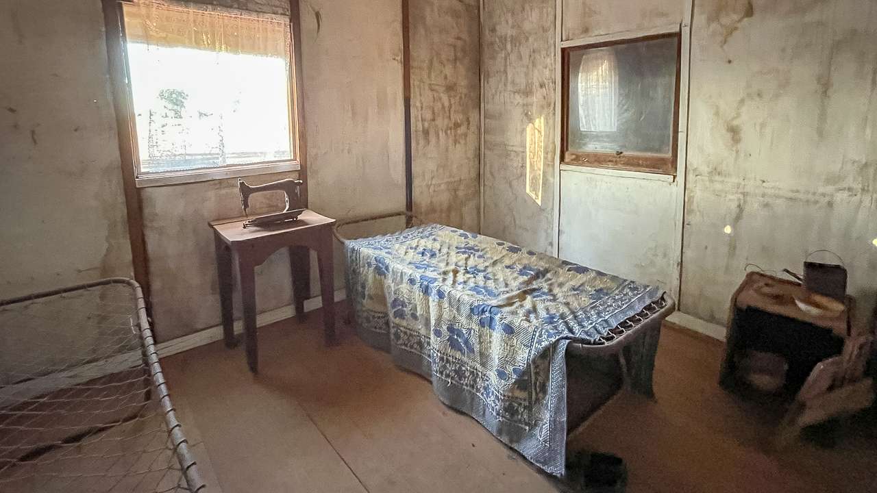
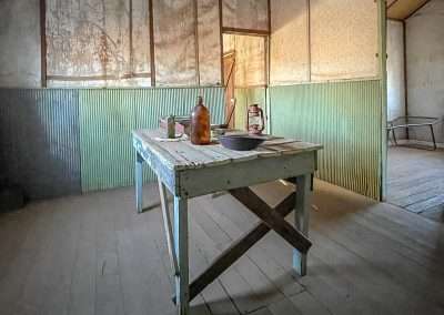
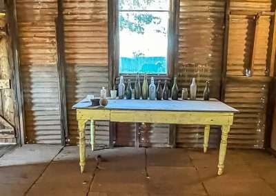
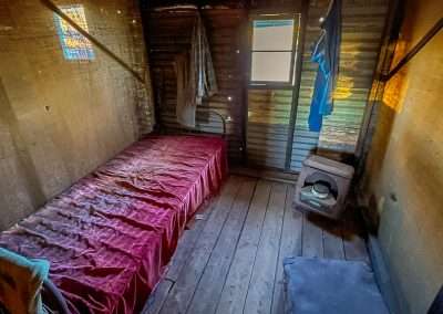
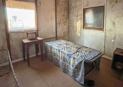
Old Abandoned Bedroom At Gwalia

Old Abandoned Bedroom At Gwalia

Historical Insights: The Sons of Gwalia Mine

The Sons of Gwalia Mine was once one of the most profitable gold mines in Western Australia. It produced over 2.6 million ounces of gold in its heyday. The mine was established in 1896 by Welsh miners, who named it after their homeland. Gwalia is the Welsh name for Wales.

A key figure in the mine’s early success was Herbert Hoover, who managed the mine in the late 1890s before going on to become a U.S. President. Under Hoover’s management the mine grew rapidly. It attracted workers from all over Europe, particularly Italy and Yugoslavia which gives Gwalia its distinctive multicultural history.

The mine operated until 1963 when it closed suddenly. This caused the population of Gwalia to plummet almost overnight. The closure left the town largely abandoned and today it remains one of the best preserved ghost towns in Australia.

The Weather at Gwalia Ghost Town

The weather in Gwalia is typical of the Goldfields region – hot, dry and sunny for most of the year. Summer temperatures can soar well above 40°C, so if you’re camping during these months, be prepared for the heat and bring plenty of water. Winter is much more pleasant, with cooler days and chilly nights, often dipping below freezing.

We camped in autumn which was perfect – warm enough during the day to enjoy exploring the town, but cool enough in the evenings.

What to Expect When Driving from Laverton to Gwalia

Driving from Laverton to Gwalia is a journey through the heart of Western Australia’s Goldfields and while the road is sealed, it’s still very remote. Along the way, you’ll pass through typical outback scenery—low, scrubby bush, red earth and the occasional rocky outcrop.

There are a few points of interest along the route including the historic town of Leonora about 5 km from Gwalia. Leonora is worth a quick stop to refuel, grab some supplies. Or you can visit the Leonora Heritage Trail, which tells the story of the town’s gold mining history.

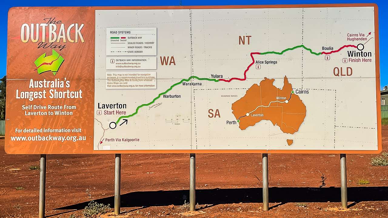
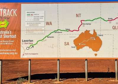
Outback Way Sign Laverton WA

Outback Way Sign Laverton WA

Location And Contact Information

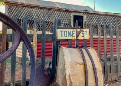
Address: Tower Street, Leonora, Western Australia
GPS:
Phone: (08) 9037 7122
After Hours: 0419 958 199
Email: [email protected]

Final Thoughts on Camping at Gwalia Ghost Town

Camping at Gwalia Ghost Town is an unforgettable experience. The combination of its rich history, stunning desert landscape and eerie atmosphere make it a unique place to visit. Whether you’re a history buff, a photographer, or just someone looking for an off-the-beaten-path adventure, Gwalia is the perfect spot to pitch a tent and explore. Plus, it’s free, which makes it even better. If you’re planning a trip along the Great Central Road or exploring the Goldfields region, be sure to add Gwalia to your itinerary. You won’t regret it!

Gwalia Ghost Town Photo Gallery

FAQs Frequently Asked Questions About Camping At Gwalia Ghost Town

Is it safe to camp at Gwalia Ghost Town?

Yes it’s generally safe to camp at Gwalia. It's a quiet spot with plenty of visitors during the winter. Be sure to take standard outback precautions like letting someone know your plans.

Are there any facilities at the campsite?
No, you'll need to be self sufficient. They don't allow any waste water (greywater) to be dropped on the ground.

Can I light a campfire at Gwalia Ghost Town?
Campfires aren't allowed.

What can I do while camping at Gwalia Ghost Town?

Explore the Gwalia Museum, visit historic buildings like Hoover House, photograph the eerie ruins, go for bushwalks, and enjoy the stunning outback stargazing at night.

When is the best time to camp at Gwalia Ghost Town?

The best time to camp is between April and September, when the weather is cooler. Summers can be scorching, with temperatures often reaching over 40°C.

Do I need a 4WD to get to Gwalia Ghost Town?

No, the roads to Gwalia from nearby towns like Leonora are sealed, and you won’t need a 4WD to access the campsite or the ghost town itself.

Giles Breakaway Free Campsite On The Great Central Road

Giles Breakaway Free Campsite On The Great Central Road

Giles Breakaway Free Campsite On The Great Central Road

Camping at Giles Breakaway is one of those things you won’t soon forget. Tucked away along the Great Central Road it’s a remote and beautiful spot with impressive views. Our camping experience here was an absolute cracker and I’m very happy to share the experience. There are also some tips to help make your visit as good as ours was.

Giles Breakaway Campsite

Giles Breakaway Campsite

From Desert Surf Central To Giles Breakaway

To kick things off let’s talk about our drive from Desert Surf Central to Giles Breakaway. Desert Surf Central was our starting point. Desert Surf central is another great campsite on the Great Central Road. If you haven’t been before Desert Surf Central is a great stop.

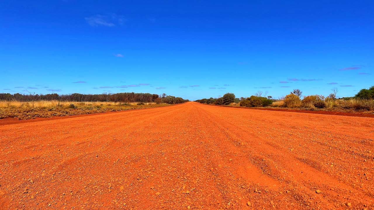
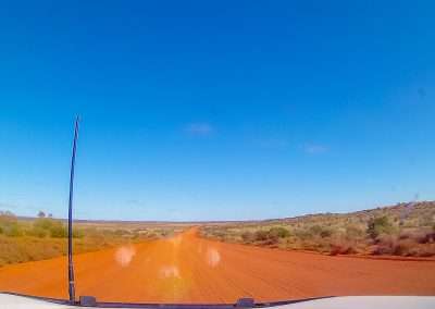
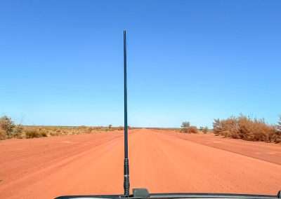
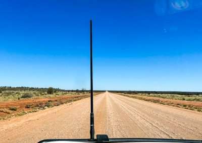
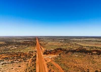
The drive from Desert Surf Central to Giles Breakaway is awesome. It’s roughly 240 kilometres of rugged road through an awe-inspiring landscape. The Great Central Road is mostly unsealed along this section but well maintained making it accessible to 4WD vehicles. Even well prepared 2WD vehicles in good weather. Keep in mind though, the road can be dusty and corrugated so make sure you’re prepared for that typical outback shake, rattle and roll.

Great Central Road 2

Great Central Road

What You’ll See On The Drive

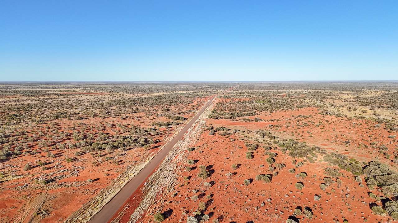
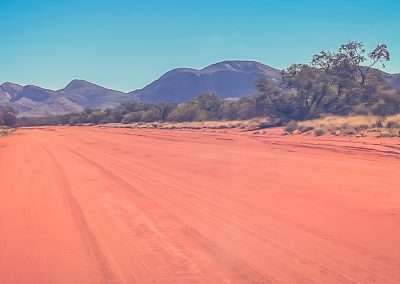
As soon as we hit the road after leaving Desert Surf Central we were in the middle of the Australian outback. You’ll pass through stretches of red dirt, spinifex grasslands and scrubby bush. The landscape changes constantly from wide open plains to low, rolling hills with the occasional sandstone outcrop.

One of the highlights is spotting wild camels. Yep, camels! They roam freely out here so keep your eyes peeled. You might also see kangaroos, emus and the odd wedge-tailed eagle circling high above looking for its next meal. There’s also something magical about the colours out here. The rich red earth contrasts beautifully with the deep blue skies, especially if you catch it just after a bit of rain when everything looks fresher and more vibrant.

Things Of Note To Stop And Look At

  1. Kurrajong Sentinel: One of the last specimens of the Kurrajong tree in this area located by the roadside along the Great Central Road. An information signboard gives more information about its significance.
  2. Tjukayirla Roadhouse: Fill up with food and grab something to eat. Tjukayirla Roadhouse (commonly pronounced “Chook-a-year-la”). It’s operated by the Papulankutja (Blackstone) Community, one of the founding members of the Ngaanyatjarra Council.
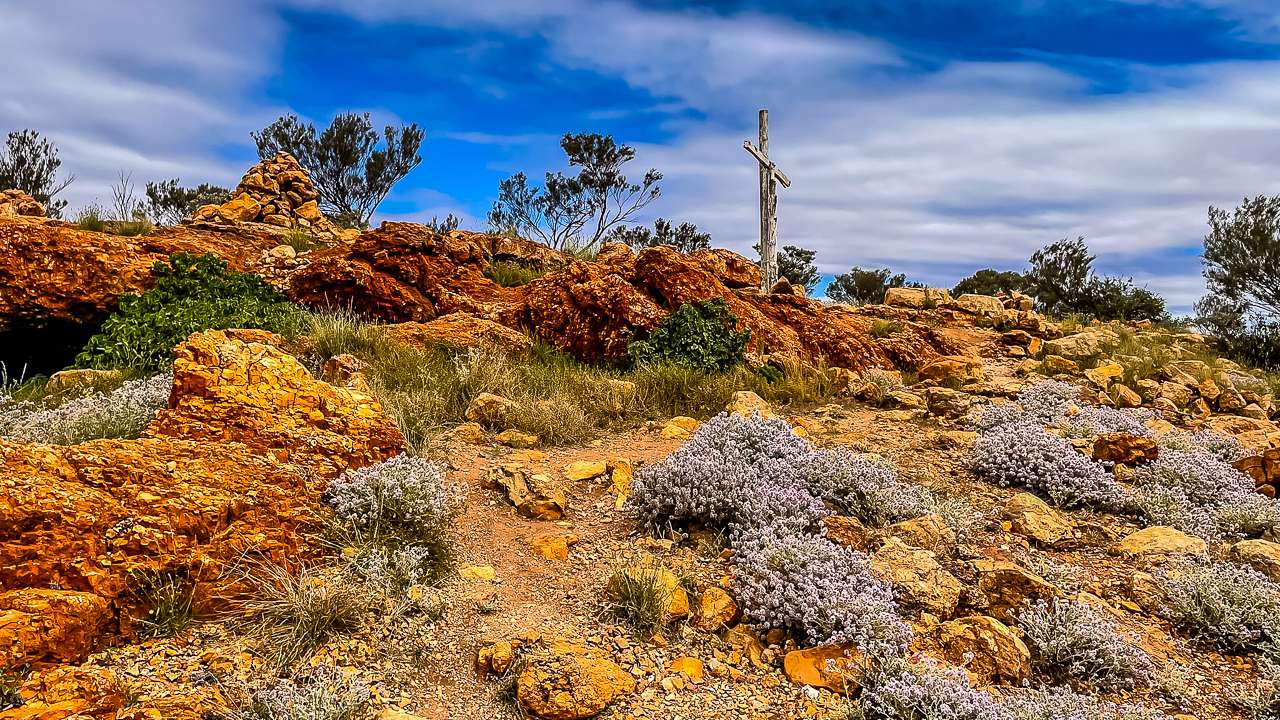
  3. White Cross: The White Cross is a large wooden cross. It’s a memorial erected in honour of a local Indigenous elder.
  4. Gnamma Holes: These natural rock holes, located close to this well-known landmark, offer a glimpse into the ancient survival methods of the Aboriginal people who have lived in this region for thousands of years.
  5. The Pines: Interpretive Panel. 120 kilometres east of Laverton. Shaded area south of road.
  6. Wildflowers: Depending on the season there might be loads of wildflowers to have a look at. we stopped quite a few times for a look.

Arriving At Giles Breakaway

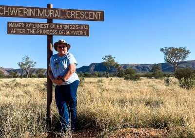
When you finally roll into Giles Breakaway, you’ll immediately notice the stark beauty of this place. It’s named after the famous explorer Ernest Giles, who was one of the first Europeans to venture through the Central Desert region in the late 1800s.

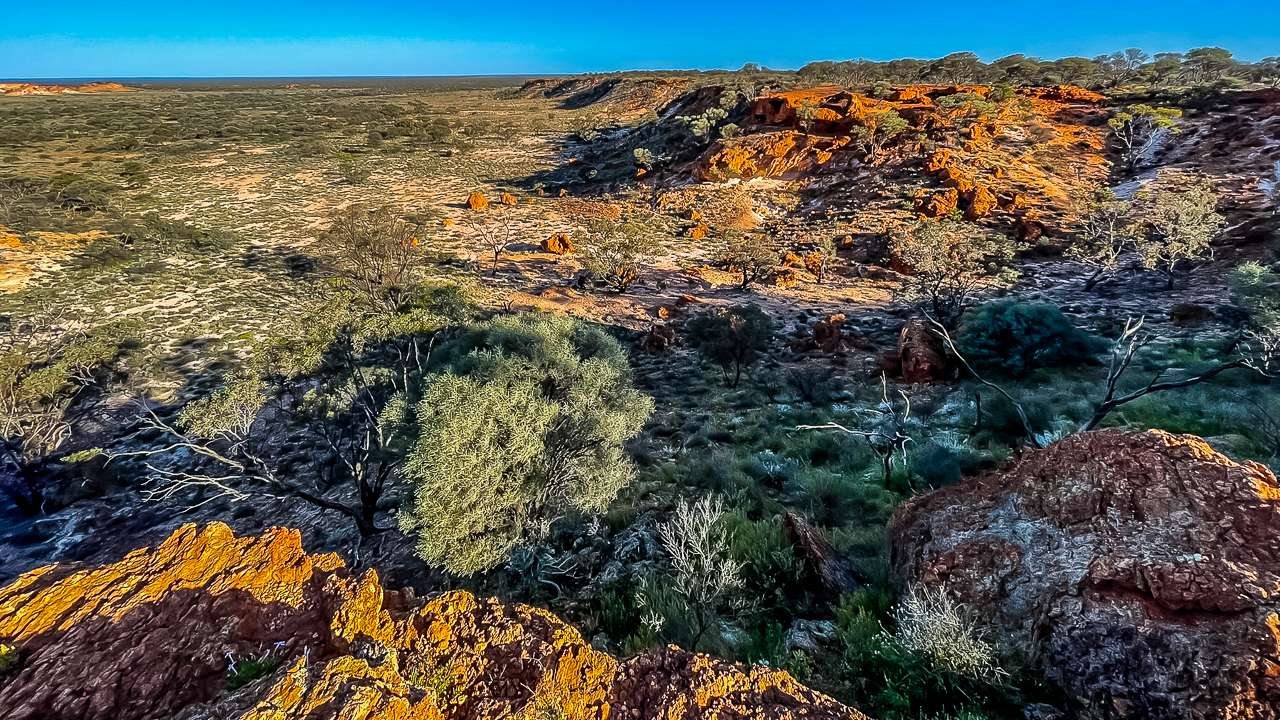
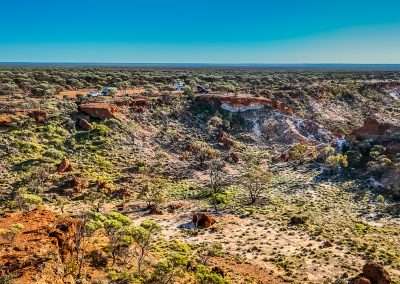
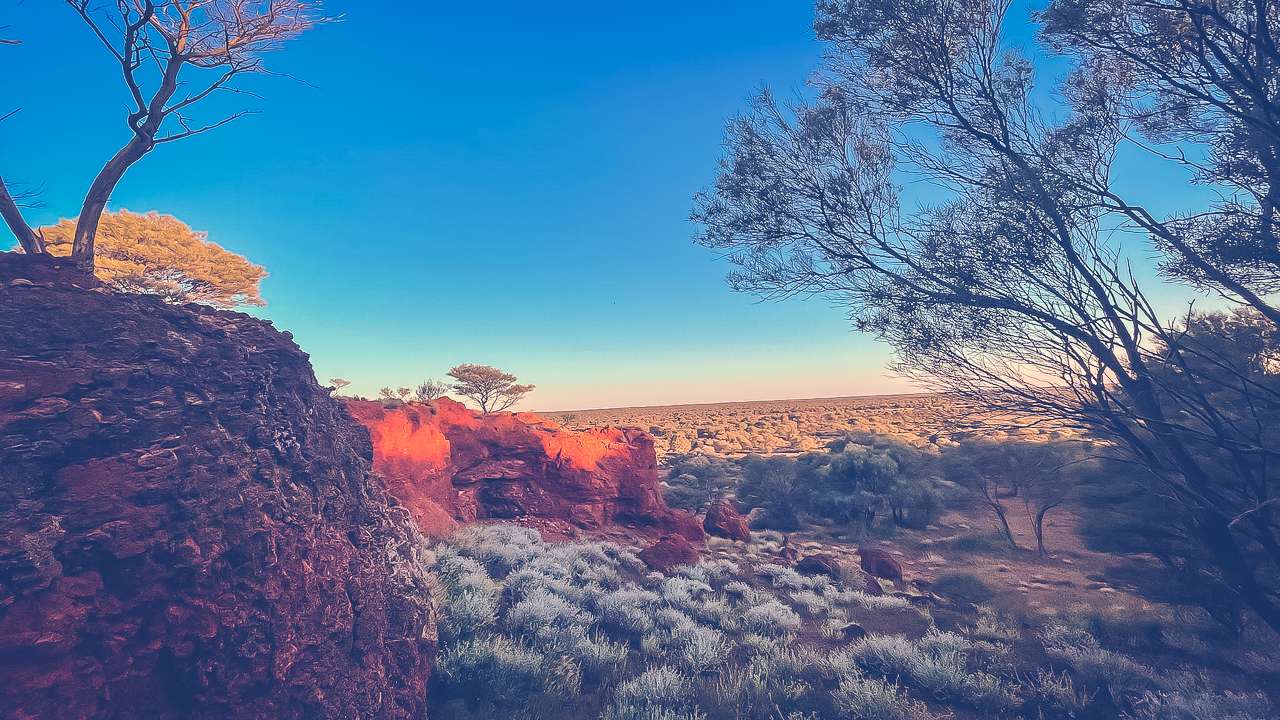
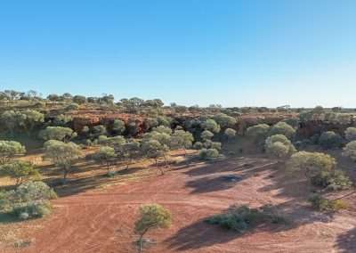
Giles Breakaway itself is a series of low cliffs and rocky outcrops that have been weathered over millennia, creating a dramatic and rugged landscape. The site feels almost otherworldly, with its jagged formations and colourful bands of rock. These cliffs, or “breakaways,” create a stunning backdrop for camping and exploring. We set up camp near the base of one of the cliffs, where we could enjoy the view and the peace and quiet of the outback.

Near Camping Area At Giles Breakaway

Near Camping Area At Giles Breakaway

Things To Do While Camping At Giles Breakaway

There’s no shortage of things to do when you’re out camping at Giles Breakaway. Whether you’re into exploring, stargazing, or simply chilling out in nature, here’s a list of activities that will keep you busy during your stay:

  • Bushwalking
    One of the best things to do is go for a walk around the breakaways. There are plenty of trails that take you up onto the cliffs, giving you sweeping views of the surrounding desert. The terrain can be rocky and uneven, so wear good hiking boots. We did a couple of short walks around the area and stumbled upon some incredible lookout points.
  • Photography
    If you’re into photography, Giles Breakaway is a dream come true. The rock formations here are fantastic and the way the light changes throughout the day makes for some stunning photo opportunities. Sunset, in particular, is a special time when the rocks glow a brilliant orange and red.
  • Stargazing
    The night sky out here is unbelievable. With virtually no light pollution, you’ll see stars like you’ve never seen them before. Bring a good pair of binoculars or even a telescope if you have one. We spent hours just lying back and watching the Milky Way stretch across the sky.
  • Relaxing By The Campfire
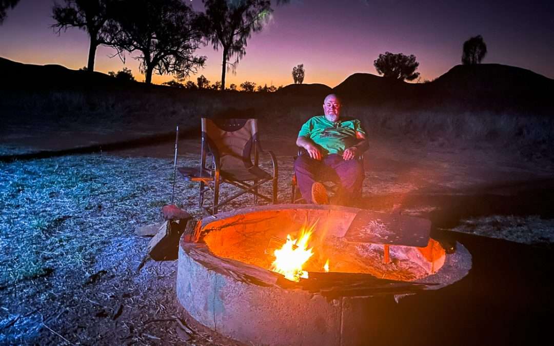
    One of the joys of camping is sitting around the campfire, having a yarn with your mates, or just enjoying the stillness of the outback. The nights can get cold, so a fire is not only cosy but also adds to the whole camping experience.
  • Wildlife Spotting
    Keep your eyes peeled for the local wildlife. Aside from camels and kangaroos, there are plenty of reptiles and birds to spot, including the iconic wedge-tailed eagle. Early mornings and late afternoons are the best times for wildlife sightings.
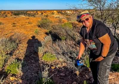
  • Geocaching
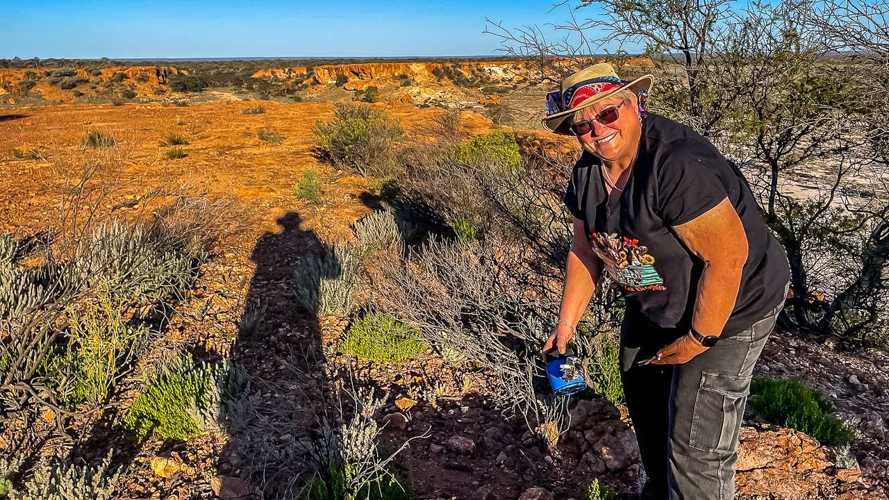
    There’s a geocache located at Giles Breakaway. We had just enough mobile reception to be able to get the coordinates and find it.

Geocaching At Giles Breakaway

Geocaching At Giles Breakaway

Camping at Giles Breakaway: Safety And Facilities

Camping at Giles Breakaway. Is it safe? What are the facilities like? Here’s what you need to know.
  • Safety
    The most important thing to remember is that this is remote camping. You’re a long way from the nearest town, so it’s crucial to be well-prepared. But as long as you’ve got the right gear and you’re sensible, camping here is perfectly safe.
  • Weather
    The weather can be unpredictable, with hot days and chilly nights. In summer, temperatures can soar well into the 40s (Celsius), so make sure you’ve got plenty of water and shade. In winter, it can drop below freezing at night, so pack warm clothes and a good sleeping bag.
  • Wildlife
    There are no dangerous animals to worry about, but you might encounter a snake or two, especially in the warmer months. Just keep your distance and let them be.
  • Road Conditions
    The Great Central Road is generally in good shape, but it’s always a good idea to check road conditions before you head out. If it’s been raining, some sections might be tricky to navigate.

Camping Facilities

You won’t find any fancy facilities at Giles Breakaway. It’s bush camping at its best meaning there are no toilets, showers, power or water. You’ll need to bring everything with you, including:

  • Water
    There’s no drinking water available, so pack enough for drinking, cooking and washing up.
  • Toilets
    You’ll need to bring your own portable toilet or be prepared to dig a hole. Just make sure you follow the Leave No Trace principles to keep the area clean and pristine.
  • Shelter
    There’s not much in the way of natural shelter, so bring a good tent or a swag. A tarp or awning is also handy for creating some extra shade.
  • Rubbish
    You’ll need to take all your rubbish with you when you leave, so bring some sturdy garbage bags and leave the place as beautiful as you found it.

The History Of Giles Breakaway

As mentioned earlier Giles Breakaway is named after Ernest Giles. One of Australia’s most notable explorers. In the late 19th century Giles headed several expeditions through the central deserts mapping uncharted territory and searching for
viable routes. While he didn’t strike it rich in terms of discoveries his journeys helped open up Australia’s interior.

The area around Giles Breakaway has long been significant to the local Aboriginal people, particularly the Ngaanyatjarra and Pitjantjatjara groups, who have lived in the region for thousands of years. The rock formations and surrounding landscape hold cultural and spiritual importance and it’s worth keeping this in mind as you explore the area.

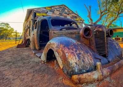
Abandoned Car On GCR

Abandoned Car On GCR

Weather At Giles Breakaway

The weather out here can vary greatly depending on the time of year, so it’s essential to plan your trip accordingly.

  • Summer (December to February): Summer can be brutal, with daytime temperatures often exceeding 40°C (104°F). If you plan to visit during the hotter months, be prepared for the heat. Make sure to carry extra water and take precautions to avoid heatstroke. On the plus side, the sunsets are spectacular!
  • Winter (June to August): Winter is the most popular time for camping at Giles Breakaway, as daytime temperatures are much more pleasant, ranging between 15°C to 25°C. However, it can get quite cold at night, sometimes dropping to below freezing, so pack warm clothes and a good sleeping bag.
  • Autumn and Spring (March to May, September to November): These shoulder seasons offer the best of both worlds, with comfortable daytime temperatures and cooler nights. These are ideal times for camping, bushwalking and exploring the area.

Fuel And Food Stops

Fuel stops are few and far between out here so don’t pass up an opportunity to top up your tank.

Fuel and Supplies

  • Tjukayirla Roadhouse: Located about 300 kilometres east of Laverton. Fill up with food and grab something to eat. Tjukayirla Roadhouse (commonly pronounced “Chook-a-year-la”). It’s operated by the Papulankutja (Blackstone) Community, one of the founding members of the Ngaanyatjarra Council. Tjukayirla Roadhouse has diesel and Opal fuel available. They also do awesome takeaway meals and they have some basic food supplies available.
  • Laverton: Laverton is about 55 kilometres west of Giles Breakaway. They have three fuel stations. They also have a well stocked supermarket.

At Tjukayirla Roadhouse

At Tjukayirla Roadhouse

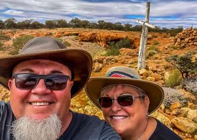
White Cross On The Great Central Road

Travelling along the Great Central Road, one of the most significant landmarks you’ll come across is the White Cross. Located in the remote outback of Western Australia. This tall, striking white cross is perched on a small hill just off the road. It’s easy to spot against the red desert landscape and for many travellers, it’s a symbol of both the harshness and the beauty of Australia’s vast interior.

White Cross Great Central Road

White Cross Great Central Road

What Is the White Cross?

The White Cross is a large wooden cross standing at around 7 metres high. It’s a memorial erected in honour of a local Indigenous elder. He was a highly respected figure in the region. His name was Pansy Napaltjarri and he belonged to the Ngaanyatjarra people. They are the traditional custodians of the land around this area.

The cross itself is simple yet striking with no elaborate design. Just a large white cross standing tall against the blue sky and red earth. It’s visible from a good distance as you approach. It’s a notable landmark on the otherwise barren stretch of the Great Central Road.

History of the White Cross

The White Cross was erected in the early 1990s to honour Pansy Napaltjarri’s contributions to his community. Known as a wise and respected leader who worked to improve the lives of his people. in particular working towards preserving their culture and ensuring the younger generation maintained their connection to the land.

Napaltjarri’s influence was significant during a time when the Indigenous communities in the area faced challenges with the encroachment of Western culture, as well as the ongoing impacts of colonialism. The White Cross serves as a tribute to his leadership and the respect he earned from both his own people and non-Indigenous Australians alike.

Over the years, the White Cross has become a bit of a stop-off point for those travelling the Great Central Road. It’s not only a place to reflect on the local history and the contributions of Indigenous leaders, but also a quiet spot to take in the vast expanse of the desert that surrounds it.

What Does the White Cross Symbolise?

The White Cross is more than just a memorial to a single person. For many, it symbolises the resilience and strength of the Indigenous communities in this harsh and isolated part of Australia. It’s also a reminder of the deep cultural and spiritual connection that the Ngaanyatjarra people have with the land.

While the cross is a symbol of Christian faith, it stands as a broader reminder of the ways in which different cultures and beliefs have intersected in this part of Australia. The cross also serves as a marker of respect—honouring the lives and histories that have shaped this region.

Visiting the White Cross

If you’re driving the Great Central Road, the White Cross is an interesting and peaceful spot to stop for a break. You can walk up the small hill to get a closer look and take in the sweeping views of the surrounding desert.

The White Cross is a reminder of the people who have lived on and cared for this land for thousands of years, long before modern explorers and travellers ventured into the outback.

Gnamma Holes On The Great Central Road

If you’re driving along the Great Central Road, one of the fascinating spots to check out is the area near the White Cross, where you’ll find Gnamma holes. These natural rock holes, located close to this well-known landmark, offer a glimpse into the ancient survival methods of the Aboriginal people who have lived in this region for thousands of years. They may seem like simple rock pools, but these Gnamma holes hold a deep cultural and practical significance, especially in the harsh conditions of the Australian outback.

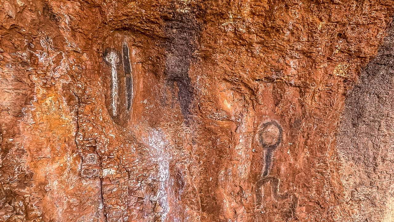
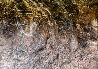
Aboriginal Rock Art Great Central Road

Aboriginal Rock Art Great Central Road

What Are Gnamma Holes?

Gnamma holes are naturally occurring waterholes found in rocky outcrops, often in granite or similar types of stone. Over time, water and wind erosion create these depressions, which then collect rainwater, providing a crucial water source in a landscape where surface water is rare. In this part of the desert, where rainfall is unpredictable and often scarce, these waterholes were essential for both Indigenous Australians and animals.

The Gnamma holes next to the White Cross are part of a network of such water sources used by the local Ngaanyatjarra and Pitjantjatjara peoples for millennia. These holes are vital to their survival during long journeys through the desert, as they provide a reliable source of fresh water. For anyone passing through this desolate region, knowing the locations of these waterholes was a matter of life and death.

Rock Art At The Gnamma Holes Near The White Cross

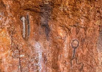
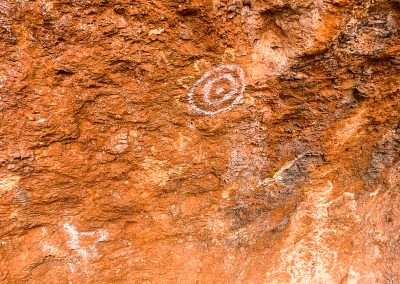
If you go for a walk while checking out the gnamma holes you will many examples of Aboriginal rock art. I’m not an expert in any way shape or form. I did recognise the symbol for water however I have no idea what the others are. If you’ve been there and know what they are please let me know in the comments section below.

History of the Gnamma Holes Near the White Cross

The Gnamma holes near the White Cross have been known and used by Aboriginal communities for thousands of years. Traditionally, the knowledge of these waterholes was passed down through generations, ensuring that future travellers and communities knew where to find water during their journeys across the desert.

These Gnamma holes hold cultural significance as well, being part of the Dreamtime stories that connect the Aboriginal people to the land. In these stories, the landscape features, including Gnamma holes, were often created by ancestral beings and they continue to play a role in the spiritual lives of local Aboriginal groups.

European explorers and settlers who ventured into these remote areas in the 19th century would have been unaware of the location of such vital water sources if not for the guidance of Indigenous people. For non-Indigenous Australians, the Gnamma holes were often hidden or unnoticed, blending into the rocky landscape. Many explorers would have struggled to survive without this local knowledge.

Today, the Gnamma holes near the White Cross are still respected by the Indigenous communities and visitors alike. The area surrounding the White Cross is not only significant for its spiritual connections but also for its practical role in desert survival.

Visiting the Gnamma Holes

If you’re visiting the White Cross on the Great Central Road, the nearby Gnamma holes are worth exploring. They give you an opportunity to see how nature has carved out these small but essential features and you can appreciate how crucial they were to life in such a dry region. It’s important to approach these waterholes with full respect. It’s important to approach these waterholes with full respect. While they may seem small and insignificant to the casual visitor, they are still regarded as sacred by the local Aboriginal communities. It’s also important not to contaminate the water, as these Gnamma holes remain an important resource for local wildlife. They can still be used by people travelling through this remote part of Australia.

Significance Today

The Gnamma holes next to the White Cross remind us of the deep connection between people and the land in the Australian outback. More than just natural rock formations; they are testament to the ingenuity of the Aboriginal people and their ability to thrive in some of the most challenging environments on Earth. For travellers on the Great Central Road, visiting the Gnamma holes is an opportunity to connect with the rich history and culture of this remarkable region.

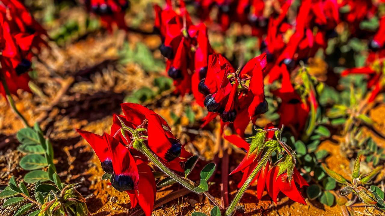
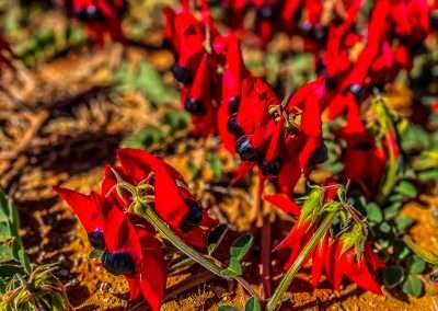
Sturt Desert Pea On Great Central Road

Sturt Desert Pea On Great Central Road

Final Thoughts On Camping At Giles Breakaway

Camping at Giles Breakaway is a true outback adventure that offers a rare opportunity to experience the raw beauty of the Australian desert. From the rugged landscape and stunning rock formations to the peaceful solitude of the night sky, it’s a place that sticks with you long after you’ve left. Just remember to be prepared, take care of the environment and enjoy every moment of this incredible slice of Australia.

Giles Breakaway may be remote, but it’s the kind of place that rewards those who make the effort to get there. It’s a place where you can truly disconnect, breathe in the fresh desert air and reconnect with nature. Trust me, you won’t want to miss it!

Giles Breakaway Photo Gallery

FAQs Frequently Asked Questions About Camping At Giles Breakaway On The Great Central Road

Is it safe to camp at Giles Breakaway?

Yes, it’s generally safe to camp at Giles Breakaway, but it’s a remote spot, so you’ll need to be well-prepared. Make sure you bring enough water, food, and fuel, and let someone know your plans. Watch out for wildlife, and always camp away from cliffs for safety.

Are there any camping facilities at Giles Breakaway?

No, Giles Breakaway is a bush camping site with no formal facilities. There are no toilets, water taps, or designated campsites. You’ll need to be completely self-sufficient and follow Leave No Trace principles to keep the area pristine.

Can I light a campfire at Giles Breakaway?

Campfires are allowed as long as there are no fire bans in place. Make sure you bring your own firewood and use a fire pit if available. Never leave your fire unattended, and fully extinguish it before leaving the site.

What’s the best time of year to camp at Giles Breakaway?

The best time to camp at Giles Breakaway is during the cooler months, from April to September. Summer can be extremely hot, with temperatures often reaching 40°C or higher, which can make camping uncomfortable and even dangerous.

What should I bring when camping at Giles Breakaway?

You’ll need to bring everything with you, including plenty of water, food, camping gear, and fuel. A first aid kit, extra spare tyres, and tools for your vehicle are also recommended, as breakdowns in remote areas can leave you stranded.

How do I get to Giles Breakaway, and is the road suitable for all vehicles?

Giles Breakaway is located along the Great Central Road. While the road is unsealed, it’s generally in good condition, but a 4WD vehicle is highly recommended due to the rough terrain and potential for corrugations. Always check road conditions before you travel.

Desert Surf Central – Campsite On The Great Central Road

Desert Surf Central – Campsite On The Great Central Road

Desert Surf Central – Campsite On The Great Central Road

We camped at Desert Surf Central on the Great Central Road. Stunning views, dunes and exploring. One of our all time favourite campsites. Desert Surf Central sometimes called Desert Breakaway is an awesomely spectacular breakaway on the north side of the Great Central Road (GCR) about 121 km east of Tjukayirla Roadhouse. It’s located on one of the few sections of sealed road along the GCR.

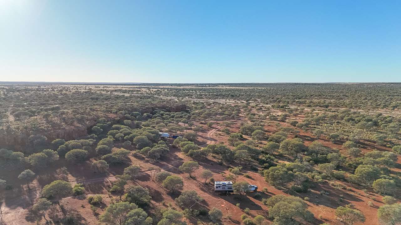
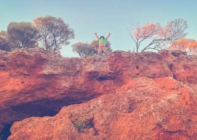
It’s a great campsite and there are really cool 360 degree views from the top of the breakaway. The area has been used as a road workers camp over a long period of many years and is well established as a camping spot. The breakaway is about six metres high and is riddled with caves and caverns. I climbed up on top of it while looking for a Geocache (didn’t find it) but the view was well worth the effort.

Desert Surf Central is a spectacular place to stop for lunch or camp. You can spend hours looking around and exploring the caves. Collect firewood along the way as there is none available. There are no services or facilities. If you have a 4wd you can get up on top of the hill to camp although I doubt you’d get a caravan up there. We looked at taking our caravan up on top and decided it wasn’t a good idea. The campsites on the lower level are really excellent anyway so there’s no need to get up on top; however if you can, the views make it worthwhile.

Awesome View At Desert Surf Central

Awesome View At Desert Surf Central

Why Camp There?

If you’re an adventurer looking to explore the raw beauty of the Australian Outback then Camping at Desert Surf Central on the Great Central Road should be on your bucket list. Whether you’re a well seasoned outback camper or a city slicker trying to escape into the wilderness Desert Surf Central has something special to offer.

In this guide we’ll walk you through everything you need to know about camping along the Great Central Road at Desert Surf Central: from what to expect on the journey to the best things you can do once you’re there.

What Is Desert Surf Central?

Desert Surf Central is a stunning area of red sand dunes located along the Great Central Road, which cuts through the heart of the Australian desert. It’s named “Desert Surf” because of the appearance of the dunes – large, rolling mounds of sand that resemble ocean waves frozen in time. The surreal wave like formations create a unique landscape perfect for exploring and photography.

Though not officially marked on many map, Desert Surf Central has become a well loved stop for adventurers making their way along the Great Central Road. The Great Central Road stretches from Laverton in Western Australia to the Uluru-Kata Tjuta region in the Northern Territory.

Camped On The Great Central Road

Camped On The Great Central Road

The Trip Yarla Kutjarra to Desert Surf Central

We spent the previous night camping at Yarla Kutjarra (another campsite we highly recommend). We headed off at about 9am. Our first stop was at Warburton Roadhouse for a late breakfast and to top up with fuel. We had plenty of fuel however one of our rules when travelling is to ALWAYS fill up whenever we can. You never know if the next stop will be out of fuel or has closed when you arrive.

Getting There

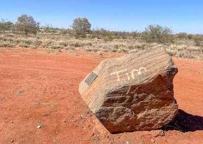
From Yarla Kutjarra to Desert Surf Central is approximately 220 kilometres. The drive takes you through some of the most remote parts of Australia so it’s essential to be well prepared. It took us about 5 hours to complete the 220 kilometres. We stopped for fuel as well as stopped to look at wildflowers along the way. We stopped at Tims Tree to check out the memorial. There was also a bit of road work going in a few spots that we had to stop for. It was great to see the graders at work maintaining the road.

Camels!
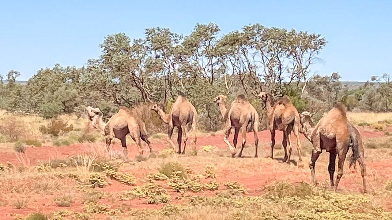
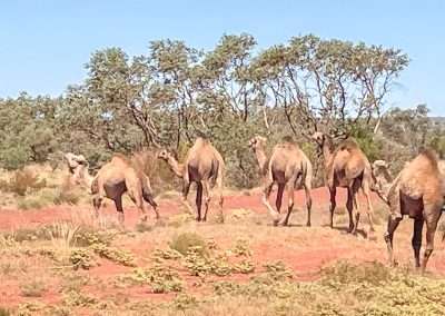
Our best delay was for camels! We had a large group of camels walk across right in front of us and we got a close up look. The leader of the group clearly didn’t like us as he kept a watchful eye on us and gave us a gobful of camel abuse. I don’t know exactly what Mr Camel was saying to us but we got the gist of it quite clearly!

Camels Crossing The Great Central Road

Camels Crossing The Great Central Road

Vehicle Requirements

You’ll need a sturdy 4WD to navigate the often rough and corrugated roads. The Great Central Road is a mix of gravel, dirt and sand and while it’s generally accessible, weather conditions can significantly impact the road’s quality. Ensure your vehicle is in good shape. Pack an extra spare tyre and bring extra fuel and water.

What You’ll See Along the Way

  • Spinifex covered Plains: As you drive from Yarla Kutjarra, you’ll pass through wide, flat plains covered in hardy desert vegetation like spinifex and saltbush.
  • Kangaroos and Emus: Keep your eyes peeled for wildlife crossing the road. Kangaroos, emus and the occasional camel are common sights in this region.
  • Spectacular Red Sand Dunes: As you near Desert Surf Central, the dunes start to rise out of the earth, forming an impressive landscape of deep red sand that contrasts beautifully against the bright blue sky.
  • Tims Tree: Tims Tree isn’t actually a tree. It’s a rock with a plaque/memorial for Tim Ballinger 8/11/71 to 14/9/92. There’s a concrete picnic table and a rest area by the roadside.
  • Warburton Roadhouse: Warburton Roadhouse is your only place to restock and refuel between Yarla Kutjarra and Desert Surf Central. They usually have a good supply of both fresh and frozen food available.
  • Camels If You’re Lucky: We were lucky and got to see some camels crossing the road in front of us.

Camping at Desert Surf Central What You Need to Know

Camping at Desert Surf Central is as remote as it gets. There are no designated camping facilities, no toilets and no running water. You’ll need to be fully self sufficient. It’s a chance to truly get off the grid and experience the Outback as it’s meant to be experienced – wild and untouched.

Camping On The GCR

Camping On The GCR

What To Bring

  • Water: At least 5-7 litres per person per day for drinking, cooking and cleaning.
  • Food: Non-perishable food is essential. Pack enough for the entire trip as there are no shops nearby. You can get very basic supplies at the roadhouses but they are as mentioned very basic. Think a loaf of bread and some canned goods and you won’t be far from the mark.
  • Shelter: A good quality tent or swag that can withstand strong winds is a must. We had our caravan and one of those is highly recommended if you’re old and soft like us.
  • Rubbish Bags: You’ll need to pack out everything you bring in, including your rubbish. Leave no trace.
  • First Aid Kit: It’s essential to have a well-stocked first aid kit, as help is a long way off if anything goes wrong.
  • Portable Toilet: While you can dig a hole if necessary a portable toilet is the more eco-friendly, hygienic and preferred option in this pristine environment.

Camping Facilities

  • There Are None: Desert Surf Central has no formal camping facilities. This is true bush camping at its best. You’ll need to be prepared for total self-sufficiency.
  • Fires: Campfires are allowed, but you’ll need to bring your own firewood as there’s very little available in the area. Always make sure your fire is fully extinguished before you leave.

Is It Safe To Camp At Desert Surf Central?

Camping at Desert Surf Central is generally safe but there are a few risks associated with the remoteness of the area. If you’re well prepared and follow basic safety guidelines you’re unlikely to encounter any problems.

  • Wildlife: While dingoes roam the desert, they tend to be shy and will generally stay away from humans. However, make sure to secure all your food properly to avoid attracting animals to your campsite. Kangaroos and emus are common and while they’re not dangerous, it’s wise to be cautious if they get too close.
  • Weather: The weather at Desert Surf Central can be extreme. In summer, temperatures can soar above 40°C during the day and drop sharply at night. Winters are more pleasant, with daytime temperatures ranging between 20°C and 30°C, but nights can get chilly. Always check the weather forecast before heading out and be prepared for sudden changes in conditions.
  • Isolation: One of the biggest challenges is the sheer isolation. You’ll be far from the nearest town with no mobile phone reception. It’s crucial to let someone know your plans before you go. A lot of people carry an emergency beacon or satellite phone in case of trouble. Starlink is becoming an increasingly popular way of maintaining a connection.

The Breakaways At Surf Central

The Breakaways At Surf Central

Top Things To Do At Desert Surf Central

Once you’ve set up camp, it’s time to enjoy everything that Desert Surf Central has to offer. Here are some of the things we got up to.

  1. Bushwalking
    Explore the unique desert landscape on foot. There are no marked trails so you can roam freely through the dunes and surrounding areas. The silence of the desert, interrupted only by the occasional bird or rustling bush is truly magical. Make sure to take plenty of water with you and be wary of getting lost.
  2. Stargazing
    With no light pollution for miles around, the night skies at Desert Surf Central are breathtaking. You’ll see the Milky Way in all its glory, as well as planets, shooting stars and maybe even the odd satellite. Bring a telescope if you have one, but even with the naked eye, the view is spectacular.
  3. Photography
    Photographers will love the changing colours of the dunes as the sun rises and sets. The contrast between the red sand, blue sky and sparse vegetation makes for some incredible shots. If you’re lucky, you might capture a stunning image of the local wildlife.
  4. Geocaching
    There is a geocache located at Desert Surf Central although I’ll be buggered if I could find it. I spent a good half hour looking where the GPS said it should be but I had no luck.
  5. Climbing Up On Top Of The Breakaway
    Be careful if climbing as the rock is fairly loose and full of holes that go through it. The view from on top is worth the effort.

History Of Desert Surf Central

The Great Central Road has a rich history primarily as an Indigenous route before European settlement. The route was used for millennia by Indigenous Australians to travel between communities. In the 1950s and 60s the road was developed further to connect remote communities and allow access to prospectors searching for gold. Today the Great Central Road serves as a vital link for Outback communities and it’s become a popular route for adventurous travellers. Desert Surf Central,though not an official historical site is part of this rich tapestry of the Australian Outback. With its untouched dunes and landscape that hasn’t changed for centuries.

Great Central Road 222km West Of Yarla Kutjarra

Great Central Road 222km West Of Yarla Kutjarra

Final Thoughts

Great Central Road camping at Desert Surf Central offers a one-of-a-kind adventure into the heart of the Australian Outback. The journey is challenging, but the rewards are immense—stunning desert landscapes, peace and isolation and a chance to reconnect with nature. Head out for an unforgettable camping experience at Desert Surf Central. It’s an Outback campsite you’ll remember for a lifetime.

Camping At Desert Surf Central Photo Gallery

FAQs Frequently Asked Questions About Camping At Desert Surf Central On The Great Central Road

Is it safe to travel the Great Central Road?

Yes, the Great Central Road is safe as long as you are well-prepared. Ensure your vehicle is in good condition, carry extra fuel, food and water and check road conditions before setting off.

When is the best time to camp at Desert Surf Central?

The best time to camp is during the cooler months from May to September when temperatures are more bearable. Summer can be extremely hot, making it uncomfortable and potentially dangerous.

Can you camp anywhere at Desert Surf Central?

Yes, Desert Surf Central is an open camping area. You can set up camp wherever you find a suitable spot, but always remember to follow the "leave no trace" principles.

Do I need a permit to travel the Great Central Road?

Yes, you’ll need a transit permit to travel through Aboriginal lands along the Great Central Road. Permits can be easily obtained online.

Are there any facilities at Desert Surf Central?

No, there are no facilities at Desert Surf Central. You’ll need to be fully self-sufficient, bringing your own water, food, shelter and rubbish bags.

Yarla Kutjarra: A Great Central Road Camping Experience

Yarla Kutjarra: A Great Central Road Camping Experience

Yarla Kutjarra: A Great Central Road Camping Experience

Yarla Kutjarra is a Great Central Road camping experience not to be missed. Find out about the location, getting there and the facilities there. It’s hard to describe the sense of vastness you get driving along the Great Central Road where the landscape stretches out forever. And Yarla Kutjarra with its remote beauty was the perfect place to camp for the night.

If you’re planning a camping trip along the Great Central Road or just love reading about the bush let me tell you about camping at Yarla Kutjarra. It’s a spot that deserves a spot on your travel bucket list.

Our Camp On The Great Central Road Camping At Yarla Kutjarra

Our Camp On The Great Central Road Camping At Yarla Kutjarra

Why Great Central Road Camping At Yarla Kutjarra?

Yarla Kutjarra sits along the Great Central Road. A legendary track that links Western Australia with the Northern Territory. The drive itself is a journey through the heart of the Aussie outback. With landscapes that change from red dust to scrubby bush and back again.

We camped at Yarla Kutjarra because it’s not just any old campsite – it’s one of the best campsites on the Great Central Road. With hardly anyone else around it felt like we had the whole outback to ourselves. No road noise, just pure unfiltered nature.

Travelling From Docker River To Yarla Kutjarra

We started our journey from Docker River. Docker River is about 250 kilometres from Yarla Kutjarra. Docker River is known for its scenery but the drive between these two places is even more spectacular. Once you hit the road it’s just you the open track and the sprawling outback.

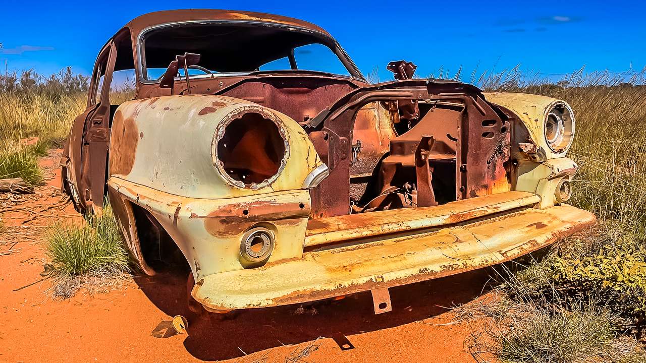
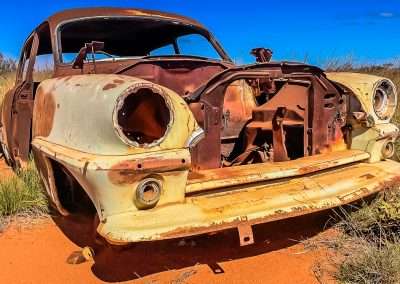
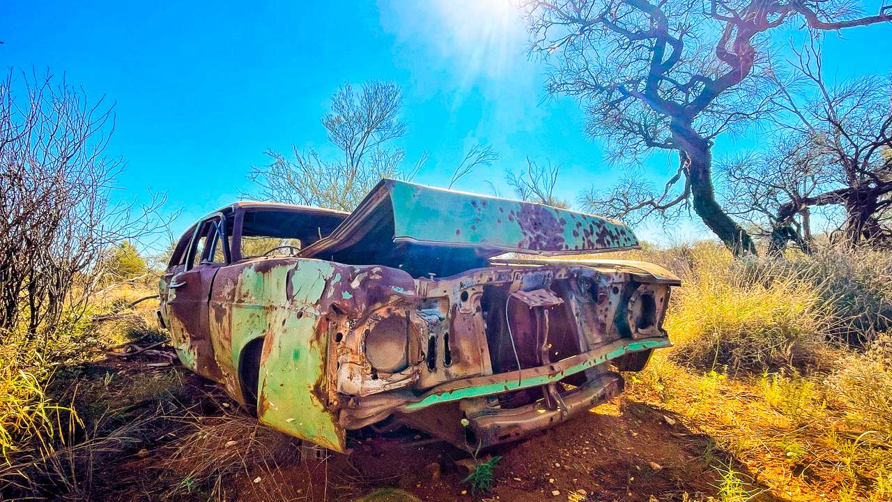
Along the way you’ll pass salt lakes and patches of desert bush. You’ll also pass the wrecks of loads of abandoned cars. It seems as if when they cark it out here they just get rolled off into the bush and left. It’s the kind of drive where you feel completely isolated in the best way possible. There’s an eerie beauty to the emptiness. You won’t see too many other cars (other than the previously mentioned dead ones) but every now and then a wedge-tailed eagle swoops overhead to keep you company for a bit.

There are also a few small ridges and hills dotted along the way that offer incredible views. Make sure to pull over for a moment or two to soak it all in. The Great Central Road isn’t about getting somewhere fast – it’s about enjoying the journey.

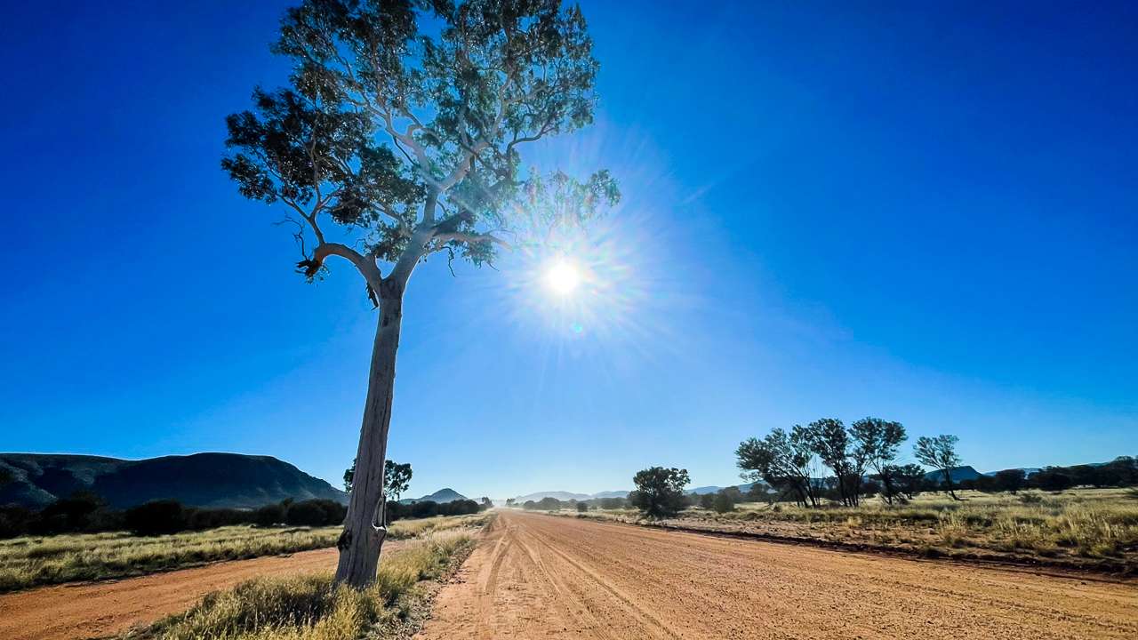
Ghost Gum With The Len Beadell Plaque On The GCR

Ghost Gum With The Len Beadell Plaque On The GCR

What You’ll See On The Way

On the drive between Docker River and Yarla Kutjarra there’s no shortage of natural beauty. Some highlights of the trip include,

  • Salt Lakes: You’ll pass several of these, shimmering in the distance like mirages. They’re surreal and strangely beautiful.
  • Red Sand Dunes: The rich, red sand dunes look like something from another world. Every so often, the road cuts right through these, making you feel like you’re truly in the heart of the desert.
  • Wildlife: Keep an eye out for kangaroos, emus, wild brumbies and dingoes. You might even catch sight of a camel or two if you’re lucky.
  • Gum Trees and Scrubland: The landscape might seem repetitive at times, but there’s something meditative about the endless stretches of gum trees and scrub. It’s Australia at its rawest.
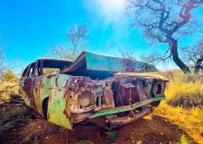
  • Abandoned Cars: Normally dumped and abandoned cars aren’t that exciting. But along the Great Central Road they are almost an artform of their own. Try counting them and see how many you can find.

Abandoned Car On Great Central Road just One Of Hundreds

Abandoned Car On Great Central Road just One Of Hundreds

Is It Safe to Camp at Yarla Kutjarra?

You might be wondering is it safe to camp at Yarla Kutjarra? The answer is yes as long as you’re prepared. It’s remote no doubt about that, but that’s part of the beauty. We never felt unsafe. It’s a good idea to let someone know your plans before you head out as phone reception is almost non existent. We occasionally had 1 bar of 4G on the Great Central Road camping at Yarla Kutjarra but it was usually a br or two of 3G at best.

As with any bush camping you’ll want to keep your wits about you. The local wildlife usually won’t bother you but don’t leave any food out to tempt them. Dingoes can be curious critters and while they’re not usually aggressive. However it’s best not to attract them to your camp. Also watch where you step – snakes do love a bit of sunbaking.

Another thing that we saw plenty of while camping at Yarla Kutjarra were wasps. Great big bastards. We ignored them and they ignored us. They seemed to disappear later in the day and into the evening. Or maybe they didn’t disappear, maybe we just couldn’t see them?

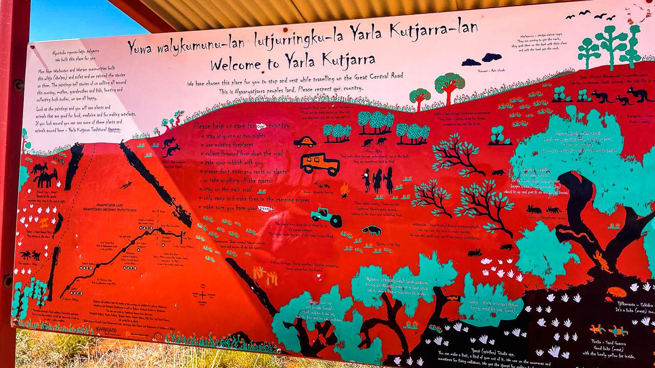
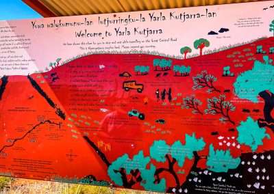
Information Board At Yarla Kutjarra

Information Board At Yarla Kutjarra

Things to Do While Great Central Road Camping At Yarla Kutjarra

You might think there’s not much to do in a remote campsite like Yarla Kutjarra, but you’d be surprised. Here’s a list of things we enjoyed while camping there,

  • Star Gazing: The night sky out here is something else. With no city lights for hundreds of kilometres, the stars are so bright they feel almost close enough to touch. If you’re into astrophotography, this is the place to set up camp.
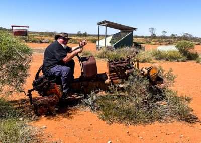
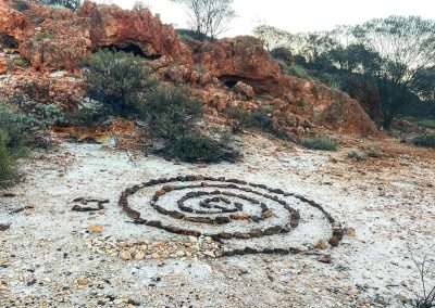
  • Bush Walks: There are loads of informal tracks around the campsite where you can take a wander. It’s a great way to spot local wildlife and take in the peaceful atmosphere. We went for a walk down to the central area where the information board is. There’s also an old tractor that was used for construction and maintenance on the Great Central Road. We also went for a walk up behind where we were camped and found some caves as well as a rock maze labyrinth thing. I doubt it was all that old but it was still cool to look at.
  • Campfire Cooking: We brought out the camp oven and cooked up a damper and dinner. There’s something satisfying about cooking your dinner over an open fire. If you’re a fan of camp cooking this is a fitting place to give it a go.
  • Photography: The scenery is incredible. Whether you’re a legend with a camera or just snapping pics on your phone,the outback sunsets and the red dirt landscapes look good in any shot.

Camping at Yarla Kutjarra: Facilities And Basic Information

Great Central Road camping at Yarla Kutjarra is as basic as it gets. There are no formal campsites or facilities so you’ll need to bring everything with you. Food, water, firewood, the works. It’s true bush camping so be prepared to rough it.

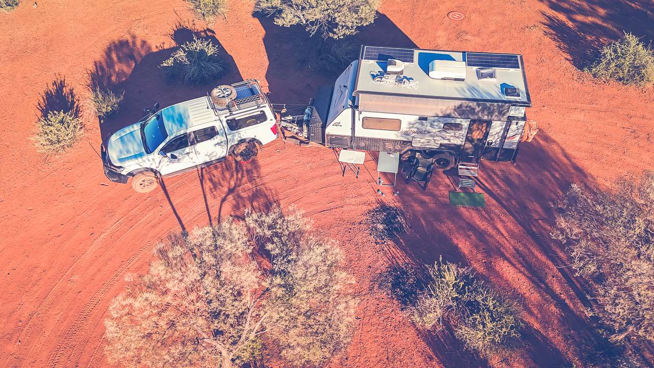
If you’ve got a portable dunny that’s a bonus as there aren’t any toilets on site. We set our caravan up the back on the left as you come in. It was a great spot with a view across the rest of the camp. We had the escarpment right behind us and that was a good spot to go for a walk and a look around.

Remember to pack all your rubbish out with you – leave no trace. The outback is pristine and we want to keep it that way for the next lot of travellers.

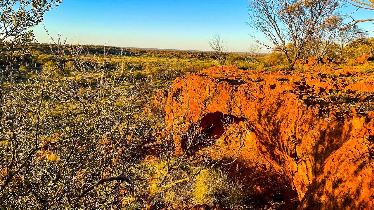
I Climbed The Rocky Escarpment Behind Yarla Kutjarra Camping Area

I Climbed The Rocky Escarpment Behind Yarla Kutjarra Camping Area

Weather At Yarla Kutjarra

Weather at Yarla Kutjarra can be a bit of a mixed bag, depending on the time of year. During the summer months, it gets scorching hot, with temperatures well into the 40s. Winter, on the other hand, brings cool nights and mild days – perfect for camping.

We visited during late winter and it was pretty much ideal. The days were warm but not too hot and the nights were chilly enough to make the campfire welcome. If you’re visiting in winte, make sure to bring warm clothes – the temperature can drop close to freezing at night.

A Bit of History: Yarla Kutjarra

Yarla Kutjarra, meaning “Two Spears” in the local Indigenous language, is a culturally significant place for the local Aboriginal people. The area has been used for millennia as a meeting place and its history is steeped in tradition.

There aren’t many physical markers of this history at the campsite itself, but knowing you’re camping on land that has been significant for so long adds a bit of reverence to the experience. We made sure to tread lightly and respect the land.

Fuel And Supplies Between Docker River and Yarla Kutjarra

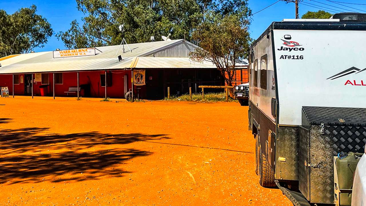
The only fuel stop between Docker River and Tarla Kutjarra is Warrakurna Roadhouse. So unless you have a super long range tank don’t miss it! As well as fuel Warrakurna Roadhouse has basic grocery supplies, basic car repair/maintenance items and some souvenirs. They also have a good range of takeaway food items. We got some chips and spring rolls and they were bloody excellent. We also grabbed a few souvenirs as well as a few photos.

Fuel was priced at $3.20 a litre when we filled up. This was in late August of 2024.

Warrakurna Roadhouse

Warrakurna Roadhouse

Best Time To Visit

The best time to visit Yarla Kutjarra is during the cooler months, from May to September. During this period, the daytime temperatures are mild, typically ranging from 20°C to 30°C, making it comfortable for outdoor activities like camping and bushwalking. Nights can be chilly, so pack some warm clothes.

Avoid visiting during the summer months (December to February), as the temperatures can soar above 40°C, making it tough to enjoy the outdoors and potentially dangerous without proper preparation.

So for an ideal outback adventure aim for the winter or shoulder months.

Rock Labyrinth Behind Camp Area At Yarla Kutjarra

Rock Labyrinth Behind Camp Area At Yarla Kutjarra

Conclusion: Why Yarla Kutjarra Is Worth the Trip

All in all, camping at Yarla Kutjarra was a brilliant experience. The remoteness, the tranquillity and the raw beauty of the outback make it one of the best camping spots we’ve been to. Whether you’re an experienced bush camper or just dipping your toes into the world of off-grid adventures, Yarla Kutjarra is worth the effort to get there. So, if you’re planning a trip along the Great Central Road, make sure to stop by Yarla Kutjarra. Bring plenty of supplies, a good sense of adventure and maybe even a bit of patience for the long drive. You won’t regret it!

Great Central Road Camping At Yarla Kutjarra Photo Gallery

FAQs Frequently Asked Questions About Great Central Road Camping At Yarla Kutjarra

Is it safe to camp at Yarla Kutjarra?

Yes, it’s generally safe to camp at Yarla Kutjarra, but you should always be prepared. Make sure to bring plenty of water, food and fuel as supplies can be limited. Always check weather conditions and road access before heading out.

What camping facilities are available at Yarla Kutjarra?

Yarla Kutjarra offers basic camping facilities. There may be bush camping spots, but you’ll need to be self-sufficient as there are no formal amenities like toilets or showers. Make sure to take all your rubbish with you!

What’s the best time of year to camp at Yarla Kutjarra?

The best time to camp is during the cooler months, from May to September, when daytime temperatures are mild and ideal for camping.

Can I have a campfire at Yarla Kutjarra?

You may be able to have a campfire depending on local regulations and fire bans at the time. Always check for any fire restrictions and use designated fire pits where available. Make sure to bring your own wood to the camp site as isn't any available.

How do I get to Yarla Kutjarra from Docker River?

Travelling from Docker River to Yarla Kutjarra is a remote journey, best suited for 4WD vehicles. The road conditions can be rough and it’s essential to bring enough fuel and supplies, as there are limited stops along the way.

Docker River Camping & Exploring The Great Central Road GCR

Docker River Camping & Exploring The Great Central Road GCR

Docker River Camping & Exploring The Great Central Road GCR

Discover what makes Docker River a must see stop on your Great Central Road GCR trip with camping tips & stunning outback scenery to explore. Seeking a real outback adventure? Then Docker River on The Great Central Road (GCR) should be on your list.

Located in the Northern Territory near the Western Australia border. Docker River (also known as Kaltukatjara) is a small remote Aboriginal community with a rugged landscape that’s bound to leave an impression on any traveller. From camping under the stars to exploring ancient rock formations. There’s plenty to do and the journey itself is as much a part of the adventure as the destination.

Let’s dive into what makes Docker River such an incredible spot, how to get there from Yulara, what you’ll see along the way and what to expect when you arrive.

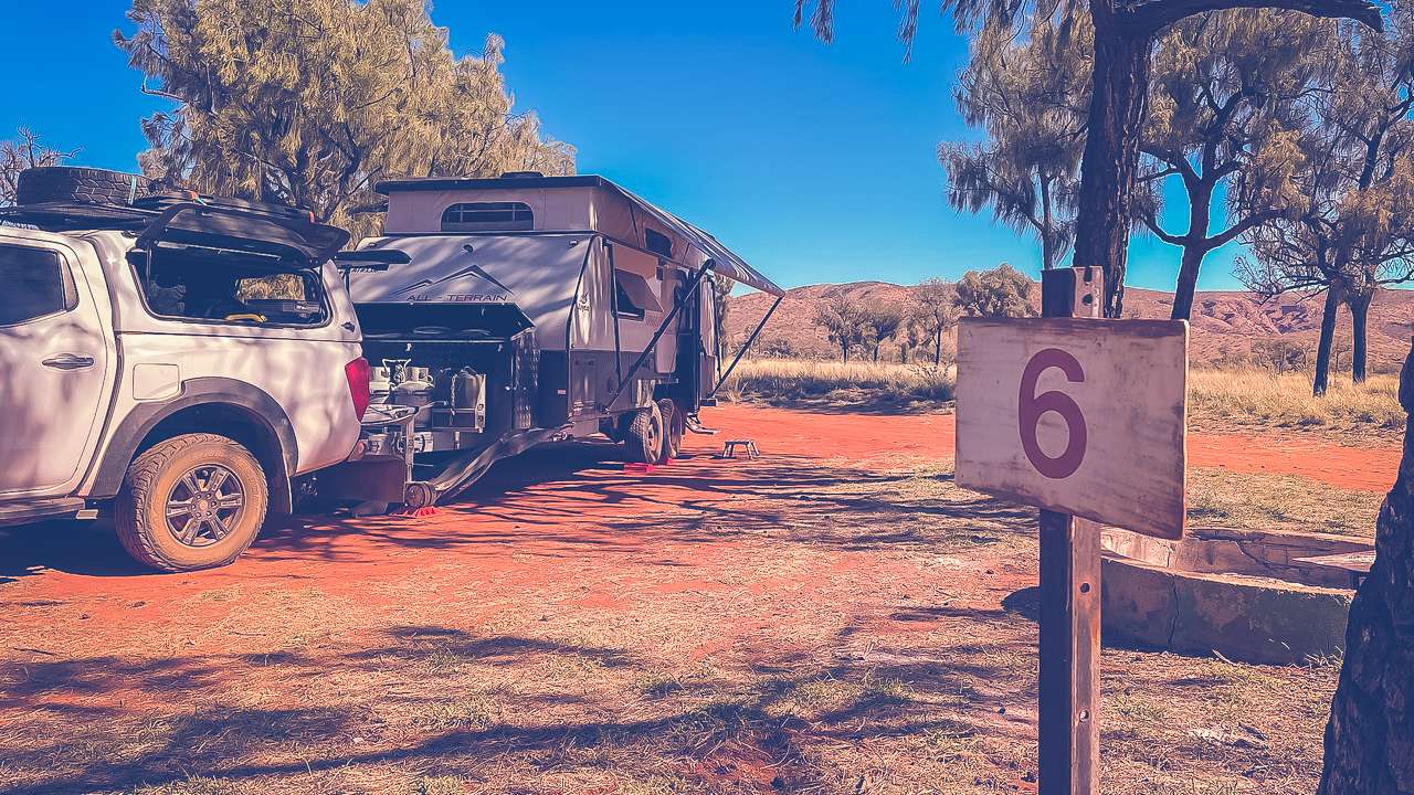
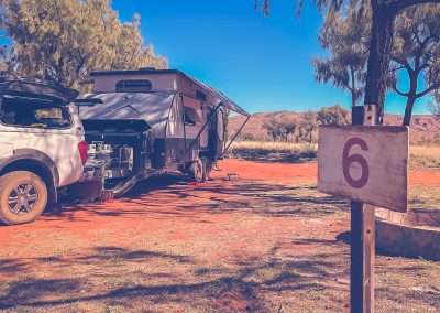
Camp Site 6 At Docker River

Camp Site 6 At Docker River

Travelling From Yulara To Docker River

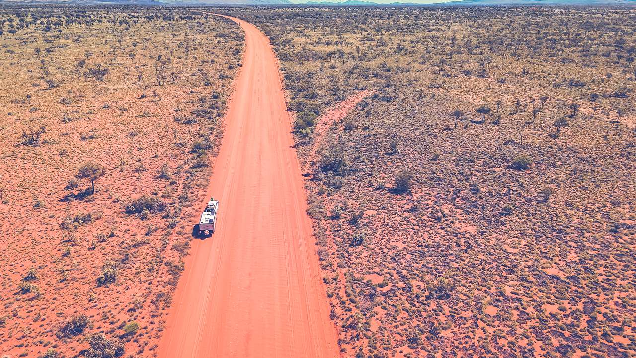
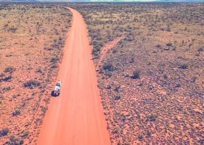
First things first, getting to Docker River is half the fun. The drive from Yulara to Docker River is about 225 kilometres and it takes around 3 hours if the weather and road conditions are on your side. You’ll be driving along the Lasseter Highway and then joining the Great Central Road which is unsealed. A 4WD vehicle is recommended.

If you’re planning to travel from Yulara to Docker River, yep, you’ll need permits. If you’re planning to travel from Yulara to Docker River, yep, you’ll need permits. This route takes you through Aboriginal land, so it’s important to get the right permissions before you hit the road.

Permits And Pricing

For a trip from Yulara to Docker River, you’ll need to apply for two permits:

  1. Northern Territory Permit (free): This covers the NT portion of the trip. Apply through: Central Land Council or call +61 8 8951 6211.
  2. Western Australia Permit (free): Once you cross into WA, you’ll need this one. Apply via the Department of Planning, Lands and Heritage or ring +61 8 6551 8002.

Make sure you apply for these permits at least 10 days before your trip. It’s simple and won’t cost you a cent, but it’s a must-do to ensure you’re respecting the traditional landowners.

default

default

Why Permits?

This isn’t just red tape it’s about respecting Aboriginal land and culture. These permits ensure travellers do the right thing by the communities in the area. Getting permits might sound like a hassle, but it’s worth it for the epic adventure you will have have.

Quick Travel Tips

  • Make sure your vehicle’s in good condition – the roads can be rough.
  • Check the weather (it can get scorching), and bring extra water.
  • Look out for wildlife along the way – it’s not unusual to see camels or roos!
  • Carry an extra spare tyre – when you blow your first tyre and have 500 kilometres to go before you can replace it you will be happy you brought an extra!

What You’ll See Along the Way

The drive itself is a true outback experience. Here’s what you can expect to see along the way.

  • Uluru and Kata Tjuta: As you head out of Yulara, you’ll be treated to stunning views of Uluru and Kata Tjuta in the distance. These iconic rock formations never get old and are a great backdrop as you start your journey.
  • Red Desert Landscape: The landscape quickly turns into vast stretches of red dirt, spinifex and low scrub. The red desert scenery is stunning in its starkness and gives you a true sense of the isolation of the outback.
  • Wildlife: You might spot a few kangaroos, emus or even a camel or two wandering around. But keep in mind, wildlife tends to be more active around dawn and dusk, so take it easy if you’re driving during these times to avoid an unwanted run-in.
  • Remote Communities: You’ll pass by a few smaller communities and stations, but for the most part, it’s just you, the open road and a big blue sky. The solitude is part of what makes this trip so special.
  • Cattle Stations: You’ll pass by vast cattle stations with seemingly endless fences. This is true outback station country and it’s not uncommon to see cattle wandering near the road.

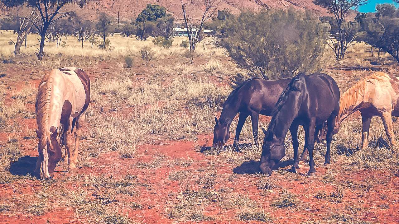
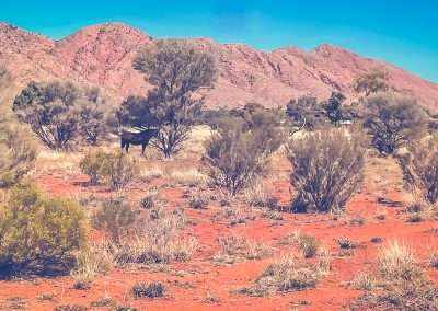
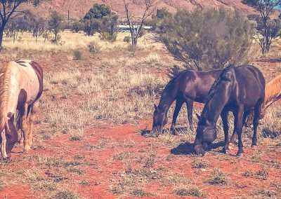
Wild Brumbies Visiting our Camp At Docker River

Wild Brumbies Visiting our Camp At Docker River

We Visited Lasseters Cave

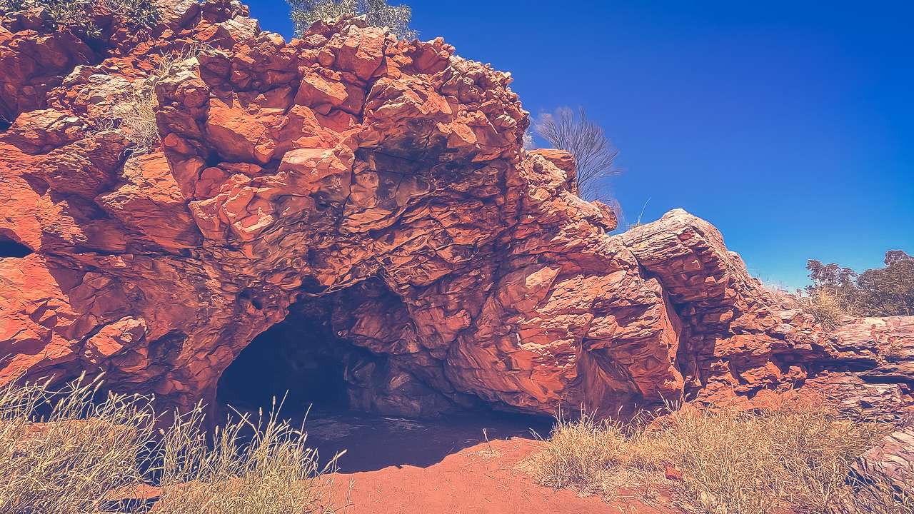
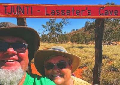
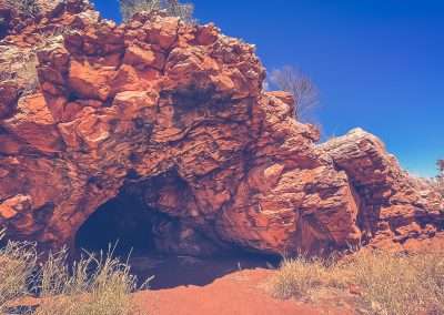
Lasseter’s Cave has always held a special interest to me. Visiting it has been on my bucket list for years. It’s not just another outback stop; it’s a slice of Australian history wrapped in mystery, legend and a dash of adventure. For anyone who’s into Aussie folklore. Or if you simply love exploring the vast, rugged beauty of the outback Lasseter’s Cave is a must see.

Who Was Lasseter?
Harold Bell Lasseter is a name that stirs curiosity among many Aussies especially those who love a good story about hidden treasures. In the 1930s Lasseter claimed he had discovered a gold reef rich beyond belief. Hidden somewhere in Central Australia. According to him this reef was so large that it could change the fortunes of Australia. His story captured the imagination of many and an expedition (not the first) was launched to find the legendary “Lasseter’s Reef.”

However things took a turn for the worse. The expedition faced harsh desert conditions and Lasseter was separated from his team. In his desperation he sought shelter in a small cave along the Hull River. this cave later became known as Lasseter’s Cave. This humble shelter is where Lasseter stayed for several weeks waiting for help that never came. Unfortunately he perished in the desert and the location of his supposed gold reef remains one of Australia’s greatest unsolved mysteries.

Lasseters Cave He Went No Further

Lasseters Cave He Went No Further

Why Visit Lasseter’s Cave?
For me Lasseter’s Cave isn’t just a bit of rock; it’s a monument to the determination, adventure and mystery that define much of Australia’s pioneering history. Whether Lasseter was a bullshitter of the highest order or not visiting the cave gives you a real sense of the isolation and harshness of the Australian outback. It’s a sobering reminder of the extremes that explorers like Lasseter endured in the hope of striking it rich or making a name for themselves. The cave itself is tucked along the Hull River and is a quiet spot where you can sit and reflect on Lasseter’s fate. While the cave isn’t large or particularly impressive in appearance the history behind it makes it a significant site.

Getting There
Lasseter’s Cave is located along the Great Central Road between Uluru and Docker River. Do if you’re heading that way it’s an easy stop.

Why It Matters
Lasseter’s story is one of hope, perseverance and mystery. It’s a classic Aussie tale that reminds us of the harshness of the outback and the spirit of those who ventured into it, often against all odds. Whether or not Lasseter’s Reef ever existed, his story has become a part of Australian folklore, a legend that still draws people into the heart of the country, searching for treasure, or perhaps just a deeper connection to Australia’s past.

For me visiting Lasseter’s Cave wasn’t just about seeing a historical site; it was about paying homage to the adventurers and dreamers who shaped Australia’s rugged history. And who knows, maybe one day someone will actually stumble across that elusive gold reef!

Camping At Docker River: What To Expect

Camping at Docker River is definitely for people who are keen on a shall we say “more rustic experience”. There are fire pits but you’ll have to bring your own wood. It’s a free camping area. We quite enjoyed the location. There are a few small amenity blocks dotted around the camp grounds. However these are all locked up and don’t appear to have been in use for quite a while.

Evening Fire While Camping At Docker River

Evening Fire While Camping At Docker River

Amenities At Docker River Campground

Fire Pits: If you’re up for a campfire (and it’s allowed) you’ll find fire pits available. Nothing beats sitting around a fire under the stars in the middle of the desert. Make sure to bring your own wood though as there’s none available at the camp ground.

Is It Safe To Camp At Docker River?

We had no problems at all camping at Docker River. However as with any remote outback destination there are a few things to keep in mind.

  • Wildlife: You’ll be in the outback, so expect wildlife to be around. Dingoes are known to roam the area so keep your food secured and don’t leave anything out overnight. Watch out for snakes during the warmer months. We had a few groups of wild brumbies come through our camp – it was a great thing to see.
  • Weather: The weather can be extreme. It’s important to be prepared for hot days and cold nights, especially during the winter months when temperatures can drop dramatically after the sun sets.
  • Respect the Community: Docker River is an Aboriginal community and it’s important to respect local customs and traditions. Make sure to stick to designated camping areas and avoid trespassing on community land.
  • Road Conditions: Always check the road conditions before heading out especially if there’s been rain. The Great Central Road can become impassable after heavy rain and you don’t want to get bogged down in the middle of nowhere.

Weather At Docker River

Docker River’s weather is typically outback extreme. Summers (December to February) are scorching, with daytime temperatures often reaching over 40°C. If you’re planning to camp during summer, be prepared for the heat and pack plenty of water, sun protection and a good hat.

Winter (June to August) is more forgiving, with daytime temperatures around 20°C to 25°C, but nights can be cold, dropping to near freezing. If you’re camping in winter, be sure to pack warm gear for the nights, as the desert temperature can dip quickly after sunset.

Spring and autumn are ideal times to visit, with pleasant daytime temperatures and cooler nights.

Things to Do While Camping at Docker River

Docker River offers a handful of unique outback experiences for those willing to explore. Here’s what you can do while camping in this remote part of Australia:

  1. Visit the Petermann Ranges
    The Petermann Ranges lie just to the north of Docker River and offer some incredible hiking opportunities. These rugged ranges are not heavily trafficked, so you’ll likely have them to yourself. Make sure to take plenty of water and let someone know where you’re going, as it’s easy to get lost out here.
  2. Birdwatching and Wildlife Spotting
    The outback is home to a surprising amount of wildlife and Docker River is no exception. Bring a pair of binoculars and see how many bird species you can spot. You might catch sight of wedge-tailed eagles, galahs, or even some rare desert parrots. There are brumbies in the area as well as camels so keep your eyes open.

Sunset At Docker River Campground

Sunset At Docker River Campground

Historical Information on Docker River

Docker River, or Kaltukatjara as it’s known to the local Pitjantjatjara people, has a fascinating history. The community was established in the 1960s as a settlement for Aboriginal people who had been displaced from their traditional lands. The town itself is named after the nearby Docker River, which was named by explorer Ernest Giles in 1872.

Historically, the area has been inhabited by Aboriginal people for thousands of years, with rich cultural traditions tied to the land. The local population continues to practise many of these traditions and visiting Docker River is a chance to learn about a way of life that has endured for millennia in one of the most challenging environments on earth.

Great Central Road Between Uluru And Docker River

Great Central Road Between Uluru And Docker River

Final Thoughts

If you’re up for a true outback adventure, Docker River is a fantastic destination. The journey from Yulara to Docker River is filled with breathtaking landscapes, wildlife and a sense of isolation that makes the outback so special. Once you arrive you’ll find a peaceful, rugged campsite that offers a chance to connect with nature.

Just remember to prepare well – bring plenty of water, check the road conditions and respect the local community and environment. Whether you’re sitting around a campfire. Exploring the nearby ranges or gazing up at the stars. Docker River is sure to leave you with lasting memories of the Australian outback.

Docker River Camping & Exploring The Great Central Road GCR Photo Gallery