13 Essential Roadtrip Planning Apps That We Swear By
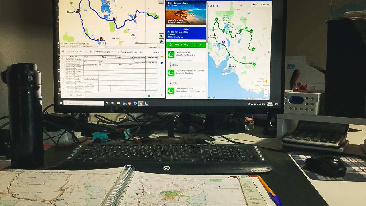
Roadtrip planning apps that help you map, track and explore with ease. Your ultimate travel toolkit awaits. When it comes to planning a roadtrip, Amanda and I like to say it’s equal parts preparation and spontaneity. Over the years, as we’ve navigated Australia’s vast and varied terrain in our 4WD and offroad caravan, we’ve come to rely on a few indispensable roadtrip planning apps to make the journey smooth, safe and fun.
Whether you’re heading out for a weekend on the coast or embarking on a cross-country trek, having the right tools in your kit can mean the difference between an easy ride and a roadtrip horror story. From essential apps to trusty old-school gadgets, here are the roadtrip planning apps and tools we swear by for top-notch roadtrip planning.

Roadtrip Planning Apps
List Of Roadtrip Planning Apps We Use
- Google Maps
Google Maps is a classic for good reason. It’s perfect for mapping out your route and calculating travel times, but it’s not just about the roads. You can use it to find rest stops, cafes and attractions along the way. The Street View feature is handy for checking if a campsite or caravan park has the space for your rig before you book.One of its best features? Offline maps. Before heading off, download your entire route and the surrounding areas. This is a lifesaver when you hit spots with no signal (and trust me, there are plenty of those in Australia). Google Maps has been our starting point for every trip, even if we combine it with more specialised tools down the line. - Wikicamps Australia
Wikicamps is a roadtripper’s dream come true. It’s like the Swiss Army knife of roadtrip planning apps. It lists thousands of campsites, caravan parks and rest areas across the country, complete with reviews, photos and details about facilities.Amanda and I love using the filters to find spots that suit our needs, whether it’s free campsites or places that allow our dog Graciee. Plus, the community aspect of Wikicamps means you’re getting real, up-to-date advice from other travellers. If someone mentions a site with a gorgeous view or warns about a dodgy toilet block, you can bet we’re taking note. - Hema 4×4 Maps
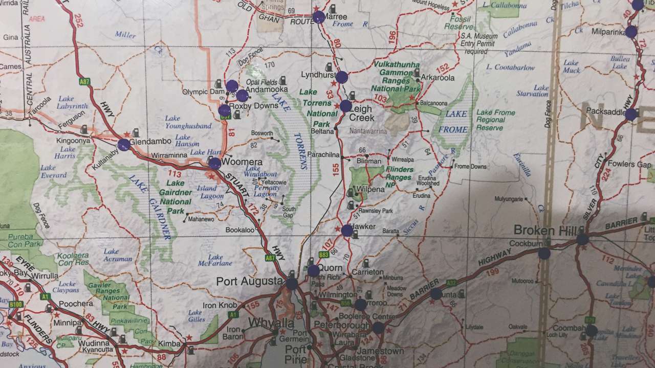
For the off-road adventurer, 4×4 Hema Maps is a must-have. Their maps and GPS devices are designed with 4WD and caravan travellers in mind, showing tracks, campsites and points of interest that mainstream apps often miss.One feature we love is the detail in their topographic maps, which are crucial when we’re venturing into remote areas. Plus, Hema’s built-in navigation alerts you to terrain changes and potential obstacles. If your roadtrip planning includes hitting the dirt tracks, this tool will save you from getting lost – or worse, stuck. - FuelMap Australia
Fuel is a massive expense on any roadtrip, especially when towing a caravan. FuelMap Australia is brilliant for tracking down the cheapest fuel stations along your route. It’s also incredibly useful for mapping out stops in remote areas where fuel stations can be hundreds of kilometres apart.One of my favourite features is the ability to add your own fuel usage data. This lets you budget accurately and avoid any nasty surprises at the bowser. Keeping an eye on prices as you travel can make a significant difference to your overall trip cost. - BOM Weather App
The Bureau of Meteorology’s app is essential for keeping an eye on Australia’s notoriously unpredictable weather. It gives real-time updates, detailed forecasts and alerts for extreme weather events like cyclones or floods.Before we set off, we always check the weather along our route and at our destination. If the app shows heavy rain, it might be worth rethinking that dirt track or switching to a campsite with better drainage. The BOM app is also handy for planning what to pack – because no one wants to be caught in the desert without sunscreen or in the high country without a jumper. We often use it a a roadtrip planning tool months or even a year out from heading off.One of our favourite roadtrip planning apps in the BOM Wether App is the ability to look up annual climate statistics. Does it often rain at Oodnadatta in July? Look it up – the annual statistics are a great guide. - AllTrails
Sometimes, the best part of a roadtrip isn’t the driving but the exploring. AllTrails is our go-to app for finding walking tracks and hiking trails. It includes everything from quick strolls to full-day treks, with difficulty levels, reviews and even tips for spotting wildlife.Amanda and I have discovered some amazing places through this app – trails that aren’t mentioned in the usual travel guides. It’s also great for planning pit stops that get you out of the car and into nature. - Google Drive Offline
One of the handiest features we’ve come to rely on is Google Drive’s offline mode. For roadtrippers, this is a game-changer. Amanda and I store all of our essential manuals – for the caravan, the 4WD and even some of our gadgets – in a Google Drive folder. By making the files available offline, we can access them anytime, even in the middle of nowhere.Having quick access to a troubleshooting guide when the fridge won’t cool or the car throws a warning light has saved us countless headaches. Plus, it’s a great way to store other documents like itineraries, booking confirmations, or even recipes for campfire cooking. - Google Sheets
For staying organised, Google Sheets is an underrated gem. Google Sheets is a roadtrip planning app that we use every single time. Amanda and I use it to create checklists, budget trackers and even meal plans for longer trips. It’s great for sharing and updating info in real time if you’re travelling with others.For roadtrip planning, we make a sheet listing campsites, estimated travel times, fuel stops and even notes about what to pack. It’s also where we track our expenses – from fuel costs to caravan park fees – which helps us stick to our budget. Best of all, it’s cloud-based, so you can access it on any device (as long as you’ve got internet). - Geocaching.com App
If you’re looking to add a touch of adventure to your roadtrip, the Geocaching.com app is a brilliant companion. Geocaching is essentially a global treasure hunt where people hide small items (called “caches”) and share their locations online for others to find.Amanda and I love using this app to break up long drives with a bit of fun. It’s a fantastic way to discover hidden gems – often literally – that you wouldn’t stumble upon otherwise. From urban parks to remote bushland, geocaching takes us off the beaten track and often sparks some great conversations with locals and other treasure hunters. - A Quality First Aid App
Safety first, always. Having a first aid app, like St John Ambulance First Aid, is a smart move. These apps provide step-by-step instructions for handling everything from snake bites to burns.When you’re roadtripping in remote areas, knowing how to handle emergencies can make a big difference. The app is easy to use and doesn’t require internet, which is a bonus when you’re out bush. - DJI Fly
If you travel with a drone, the DJI Fly app is an absolute must. It’s essential for controlling your DJI drone and capturing stunning aerial footage of your journey. Amanda and I use it to scout out campsites, track routes, and capture unforgettable memories from above. The app also helps you check for no-fly zones and weather conditions to ensure safe flights. - Google Earth
Google Earth is a fantastic tool for roadtrip planning and exploration. It allows you to view detailed satellite imagery, measure distances, and even check elevation changes.We use Google Earth to scope out off-grid camping spots, plan scenic detours, and discover hidden gems. The 3D view is brilliant for getting a sense of the terrain before we arrive. - Gasfinder
Gasfinder is a must-have for anyone using LPG gas while on the road. The app helps you locate gas bottle refilling stations or swap points in your area.Amanda and I rely on Gasfinder to ensure we never run out of gas for cooking or heating, especially in remote regions. It’s user-friendly, with updated pricing and availability details, saving us both time and money.

Roadtrip Planning
Summary: Building the Ultimate Roadtrip Planning Kit
Roadtrip planning can feel overwhelming, but with the right tools, it becomes part of the adventure. Apps like Google Maps, Wikicamps and Hema Maps make navigation and campsite selection a breeze, while tools like FuelMap and the BOM Weather App keep you prepared for practicalities like fuel costs and changing conditions.
Google Drive’s offline mode ensures you always have essential documents and manuals at hand and Google Sheets helps you stay organised with detailed plans and expense tracking. Add a bit of fun to the mix with the Geocaching.com app and you’re ready to hit the road with confidence.
Have we missed a game changing tool? Share your favourite roadtrip planning app in the comments or email us – Amanda and I are always keen to discover new roadtrip planning apps and hacks. See you out there!
